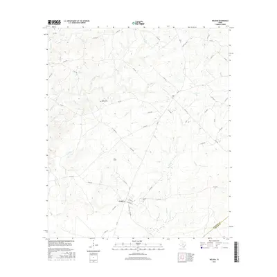
2016 Map of Weldon
USGS Topo · Published 2016About this map
Weldon serves as the central hub of this East Texas landscape, situated along the Houston and Walker County line. The area is defined by a dense network of creek drainages, including the prominent Negro Cr, Kellisons Cr, and Wright Cr. These waterways are flanked by numerous county roads that connect isolated homesteads and local landmarks. For genealogists, the presence of several well-marked burial sites like Weldon Cem, Salem Cem, and the Adams - Little Memorial Cem offers significant local history value. A distinct settlement pattern emerges around Iron Bridge and Nash Spring, where the terrain transitions toward the Trinity River basin. The map illustrates a rural Texas community structured around its water sources and long-standing family cemeteries, preserving the spatial layout of this Houston County region into the 21st century.
Find a feature on this map
54 named features on this map. Tap any name to fly to it.
Don’t see what you’re looking for? This feature index may not catch every label — zoom into the map to look around manually.
Map Details
Editions of this 2016 Weldon Map
This is the sole edition of this map. No revisions or reprints were ever made.
Other maps of this area

1953 · Palestine
USGS Topo · 1:250,000

1954 · Beaumont
USGS Topo · 1:250,000

1957 · Beaumont
USGS Topo · 1:250,000

1957 · Palestine
USGS Topo · 1:250,000

1960 · Trinity West
USGS Topo · 1:24,000

1962 · Lovelady South
USGS Topo · 1:24,000

1962 · Wyser Bottom
USGS Topo · 1:24,000

1962 · Baker Lake
USGS Topo · 1:24,000

1963 · Lovelady North
USGS Topo · 1:24,000

1964 · Sand Ridge
USGS Topo · 1:24,000