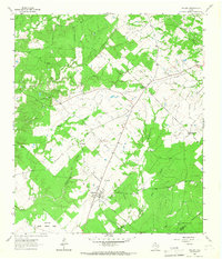
1964 Map of Weldon
USGS Topo · Published 1967About this map
Weldon serves as a central hub for this rural portion of the county in the mid-1960s, featuring the Weldon PO and a concentration of homes at the intersection of local roads. The landscape is defined by the winding paths of Kellisons Creek and Cedar Creek, with several small settlements such as Hazel Chapel and Sorghumville providing community anchors. To the southwest, the expansive Eastham State Prison Farm occupies a significant portion of the terrain along the banks of Negro Creek.
Find a feature on this map
19 named features on this map. Tap any name to fly to it.
Don’t see what you’re looking for? This feature index may not catch every label — zoom into the map to look around manually.
Map Details
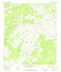
Editions of this 1964 Weldon Map
2 editions found
Other maps of this area

1953 · Palestine
USGS Topo · 1:250,000

1954 · Beaumont
USGS Topo · 1:250,000

1957 · Beaumont
USGS Topo · 1:250,000

1957 · Palestine
USGS Topo · 1:250,000

1960 · Trinity West
USGS Topo · 1:24,000

1962 · Lovelady South
USGS Topo · 1:24,000

1962 · Wyser Bottom
USGS Topo · 1:24,000

1962 · Baker Lake
USGS Topo · 1:24,000

1963 · Lovelady North
USGS Topo · 1:24,000

1964 · Sand Ridge
USGS Topo · 1:24,000