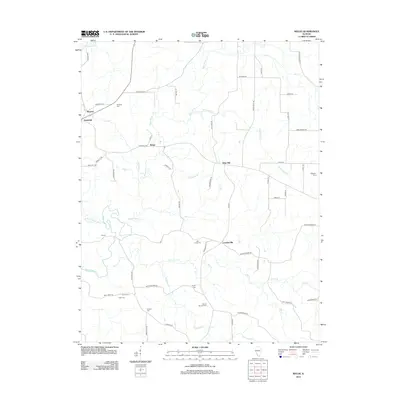
2012 Map of Welge
USGS Topo · Published 2012About this map
Bremen and Randolph anchor the northwest corner of this agricultural landscape in Randolph County, defined by the winding course of the Marys River and its numerous tributaries. Small settlements like Welge, Wine Hill, and Leanderville are connected by a network of rural roads that follow the section lines and natural contours of the terrain. The map reveals a dense distribution of family and community burial grounds, including Paradise Cem, Gillespie Cem, and Draves Cem, which serve as vital markers for local genealogical research.
Find a feature on this map
62 named features on this map. Tap any name to fly to it.
Don’t see what you’re looking for? This feature index may not catch every label — zoom into the map to look around manually.
Map Details
Editions of this 2012 Welge Map
This is the sole edition of this map. No revisions or reprints were ever made.
Other maps of this area

1912 · Baldwin
USGS Topo · 1:62,500

1914 · Baldwin
USGS Topo · 1:62,500

1914 · Coulterville
USGS Topo · 1:62,500

1915 · Chester
USGS Topo · 1:62,500

1916 · Campbell Hill
USGS Topo · 1:62,500

1917 · Coulterville
USGS Topo · 1:62,500

1918 · Campbell Hill
USGS Topo · 1:62,500

1942 · Baldwin
USGS Topo · 1:62,500

1947 · Chester
USGS Topo · 1:62,500

1949 · Paducah
USGS Topo · 1:250,000