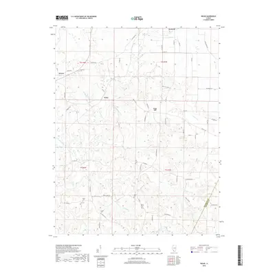
2018 Map of Welge
USGS Topo · Published 2018About this map
Marys River and its numerous tributaries, including Frickes Br and Heunhostel Br, carve a complex drainage pattern across this section of southern Illinois. The landscape is dotted with small rural settlements like Welge and Wine Hill, alongside numerous family and community burial grounds that serve as vital touchstones for local history. Notable sites such as Mill Creek Cem, Paradise Cem, and Mount Summit Cem are scattered across the townships, often situated near the ridge lines between the deep creek valleys. In the southern reaches, the boundary between Randolph and Jackson counties is clearly defined, following the rugged topography near Piney Br and Mill Cr. The road network, featuring routes like Wine Hill Rd and Murphysboro Rd, reflects a history of connecting these isolated upland communities to larger hubs like Steeleville and Bremen.
Find a feature on this map
63 named features on this map. Tap any name to fly to it.
Don’t see what you’re looking for? This feature index may not catch every label — zoom into the map to look around manually.
Map Details
Editions of this 2018 Welge Map
This is the sole edition of this map. No revisions or reprints were ever made.
Other maps of this area

1912 · Baldwin
USGS Topo · 1:62,500

1914 · Baldwin
USGS Topo · 1:62,500

1914 · Coulterville
USGS Topo · 1:62,500

1915 · Chester
USGS Topo · 1:62,500

1916 · Campbell Hill
USGS Topo · 1:62,500

1917 · Coulterville
USGS Topo · 1:62,500

1918 · Campbell Hill
USGS Topo · 1:62,500

1942 · Baldwin
USGS Topo · 1:62,500

1947 · Chester
USGS Topo · 1:62,500

1949 · Paducah
USGS Topo · 1:250,000