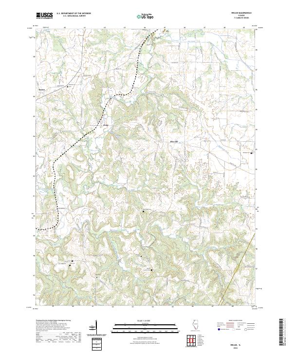
2024 Map of Welge
USGS Topo · Published 2024About this map
Marys River and its major tributary, the Little Marys River, dominate this agricultural landscape in southwestern Illinois. Small rural settlements like Welge, Wine Hill, and Bremen are connected by a network of local routes including Co Rd 2 and Murphysboro Rd. The terrain is characterized by the branching drainages of Rockcastle Creek, Mill Creek, and Piney Branch, which have shaped the placement of local roads and farmsteads.
Find a feature on this map
60 named features on this map. Tap any name to fly to it.
Don’t see what you’re looking for? This feature index may not catch every label — zoom into the map to look around manually.
Map Details
Editions of this 2024 Welge Map
This is the sole edition of this map. No revisions or reprints were ever made.
Other maps of this area

1912 · Baldwin
USGS Topo · 1:62,500

1914 · Baldwin
USGS Topo · 1:62,500

1914 · Coulterville
USGS Topo · 1:62,500

1915 · Chester
USGS Topo · 1:62,500

1916 · Campbell Hill
USGS Topo · 1:62,500

1917 · Coulterville
USGS Topo · 1:62,500

1918 · Campbell Hill
USGS Topo · 1:62,500

1942 · Baldwin
USGS Topo · 1:62,500

1947 · Chester
USGS Topo · 1:62,500

1949 · Paducah
USGS Topo · 1:250,000