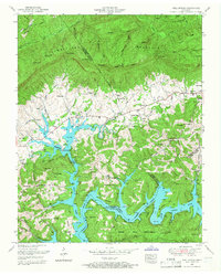
1952 Map of Well Spring
USGS Topo · Published 1967About this map
Norris Lake dominates the southern half of this landscape, its fingers reaching deep into the valleys created by the Powell River and Davis Creek. This 1952 revision captures the region after the dramatic transformation of the river valley into a reservoir, showing the Norris Reservation Boundary weaving around the rising water. In the more elevated northern reaches, Cumberland Mountain and the Log Mountains define the terrain, separated by the Tennessee Valley Divide. The map is particularly dense with genealogical markers, noting dozens of family-named burial grounds like Beeler Cemetery, McNew Cemetery, and Leach Cemetery. Social life in the communities of Well Spring and Speedwell is anchored by institutions like the Speedwell Academy and Well Spring Church, while the south-eastern corner transitions into the protected forest of the Chuck Swan Management Area.
Find a feature on this map
80 named features on this map. Tap any name to fly to it.
Don’t see what you’re looking for? This feature index may not catch every label — zoom into the map to look around manually.
Map Details
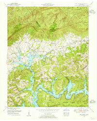
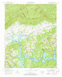
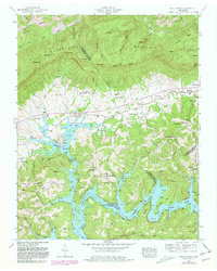
Editions of this 1952 Well Spring Map
4 editions found
Other maps of this area

1886 · Cumberland Gap
USGS Topo · 1:125,000

1888 · Cumberland Gap
USGS Topo · 1:125,000

1890 · Williamsburg
USGS Topo · 1:125,000

1891 · Cumberland Gap
USGS Topo · 1:125,000

1893 · Briceville
USGS Topo · 1:125,000

1894 · Williamsburg
USGS Topo · 1:125,000

1895 · Briceville
USGS Topo · 1:125,000

1896 · Briceville
USGS Topo · 1:125,000

1897 · Maynardville
USGS Topo · 1:125,000

1900 · Maynardville
USGS Topo · 1:125,000