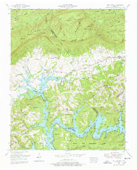
1952 Map of Well Spring
USGS Topo · Published 1978About this map
The Tennessee Valley Divide snakes across the ridges of Cumberland Mountain and the Log Mountains, separating the high, wooded peaks from the sprawling basins of Powell Valley. In the lower elevations, the landscape is defined by the massive reach of Norris Lake, which floods the ancient path of the Powell River and pushes deep into the valleys through tributaries like Davis Creek. This terrain creates a complex geography of isolated ridges and accessible water routes, where historical settlements such as Well Spring and Speedwell served as community hubs. The map is particularly rich in genealogical data, documenting dozens of family burial grounds including the Bowman Cemetery, Maxwell Cemetery, and Henegar Cemetery. Education and faith are anchored at sites like the Speedwell Academy and the Bethlehem Church, while much of the southern lakefront is preserved within the Chuck Swan Management Area.
Find a feature on this map
92 named features on this map. Tap any name to fly to it.
Don’t see what you’re looking for? This feature index may not catch every label — zoom into the map to look around manually.
Map Details
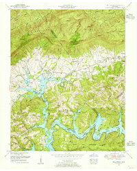
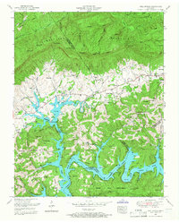
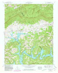
Editions of this 1952 Well Spring Map
4 editions found
Other maps of this area

1886 · Cumberland Gap
USGS Topo · 1:125,000

1888 · Cumberland Gap
USGS Topo · 1:125,000

1890 · Williamsburg
USGS Topo · 1:125,000

1891 · Cumberland Gap
USGS Topo · 1:125,000

1893 · Briceville
USGS Topo · 1:125,000

1894 · Williamsburg
USGS Topo · 1:125,000

1895 · Briceville
USGS Topo · 1:125,000

1896 · Briceville
USGS Topo · 1:125,000

1897 · Maynardville
USGS Topo · 1:125,000

1900 · Maynardville
USGS Topo · 1:125,000