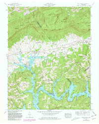
1952 Map of Well Spring
USGS Topo · Published 1980About this map
Cumberland Mountain and the Log Mountains dominate the northern terrain of this mid-century survey, descending into the fertile Powell Valley. The landscape is a complex network of ridges and hollows, where the Tennessee Valley Divide separates north-flowing waters like Tackett Creek from the drainage basin of the Powell River. By this era, the lower elevations are shaped by the backwaters of Norris Lake, which reached an elevation of 1020 feet, creating a new shoreline around the historic settlement at Well Spring.
Find a feature on this map
91 named features on this map. Tap any name to fly to it.
Don’t see what you’re looking for? This feature index may not catch every label — zoom into the map to look around manually.
Map Details
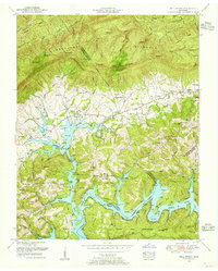
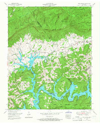
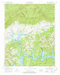
Editions of this 1952 Well Spring Map
4 editions found
Other maps of this area

1886 · Cumberland Gap
USGS Topo · 1:125,000

1888 · Cumberland Gap
USGS Topo · 1:125,000

1890 · Williamsburg
USGS Topo · 1:125,000

1891 · Cumberland Gap
USGS Topo · 1:125,000

1893 · Briceville
USGS Topo · 1:125,000

1894 · Williamsburg
USGS Topo · 1:125,000

1895 · Briceville
USGS Topo · 1:125,000

1896 · Briceville
USGS Topo · 1:125,000

1897 · Maynardville
USGS Topo · 1:125,000

1900 · Maynardville
USGS Topo · 1:125,000