
1893 Map of Wellfleet
USGS Topo · Published 1893About this map
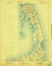
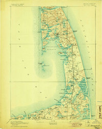
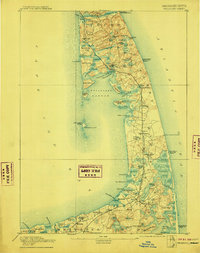
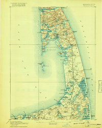
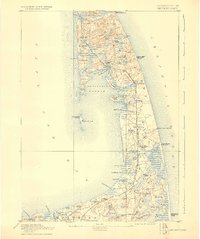
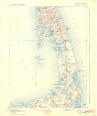
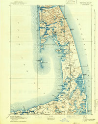
Old Colony Railroad tracks trace the narrow spine of the Outer Cape in the late nineteenth century, connecting coastal outposts from Brewster to Truro. This survey captures a maritime landscape defined by its precarious relationship with the Atlantic, marked by a chain of rescue infrastructure including the Pamet River Life Saving Station and Cahoon Hollow Life Saving Station. The interior is a dense network of freshwater kettle ponds such as Gull Pond and Bakers Pond, while the shoreline is dotted with navigational aids like Mayo's Beach Light and the Nauset Beach Beacons. In Eastham, the Methodist Camp Ground signifies the area's role as a seasonal gathering place. Extensive salt marshes and tidal creeks, including Boat Meadow River and Blackfish Creek, illustrate the complex drainage patterns that shaped local travel and industry before the modern reconfiguration of the shoreline.
Find a feature on this map
84 named features on this map. Tap any name to fly to it.
Don’t see what you’re looking for? This feature index may not catch every label — zoom into the map to look around manually.
Map Details
Editions of this 1893 Wellfleet Map
8 editions found
Other maps of this area

1887 · Wellfleet
USGS Topo · 1:62,500

1887 · Yarmouth
USGS Topo · 1:62,500

1887 · Provincetown
USGS Topo · 1:62,500

1888 · Chatham
USGS Topo · 1:62,500

1889 · Yarmouth
USGS Topo · 1:62,500

1889 · Provincetown
USGS Topo · 1:62,500

1889 · Wellfleet
USGS Topo · 1:62,500

1893 · Chatham
USGS Topo · 1:62,500

1893 · Yarmouth
USGS Topo · 1:62,500

1898 · Provincetown
USGS Topo · 1:62,500