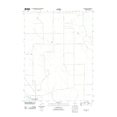
2011 Map of Wellfleet
USGS Topo · Published 2011About this map
Wellfleet serves as a small municipal anchor in this Nebraska landscape, where the Wellfleet Post Office and nearby infrastructure like the Wellfleet Dam define the local center. The terrain is marked by notable depressions such as Well Canyon, while the surrounding section lines are defined by a grid of rural routes including E Medicine Rd and S Hansen Rd. Outside the main settlement, the land supports local aviation at Detour Airport and preserves local history through sites like the Lutheran Cemetery and the Wellfleet Cemetery. This survey provides a clear look at the intersection of early 21st-century rural development and the natural hydrology of Wellfleet Lake, reflecting a community deeply tied to its geography and transportation corridors like Old Hwy 83.
Find a feature on this map
31 named features on this map. Tap any name to fly to it.
Don’t see what you’re looking for? This feature index may not catch every label — zoom into the map to look around manually.
Map Details
Editions of this 2011 Wellfleet Map
This is the sole edition of this map. No revisions or reprints were ever made.
Other maps of this area

1954 · McCook
USGS Topo · 1:250,000

1956 · Wellfleet NW
USGS Topo · 1:24,000

1956 · White NE
USGS Topo · 1:24,000

1956 · Curtis NW
USGS Topo · 1:24,000

1956 · Curtis
USGS Topo · 1:24,000

1956 · Somerset
USGS Topo · 1:24,000

1956 · Wellfleet SE
USGS Topo · 1:24,000

1956 · Wellfleet
USGS Topo · 1:24,000

1956 · Wellfleet NE
USGS Topo · 1:24,000

1957 · McCook
USGS Topo · 1:250,000