
1956 Map of Wellfleet
USGS Topo · Published 1957About this map
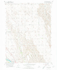
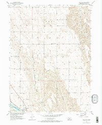
Wellfleet serves as the focal point of this mid-century survey of Lincoln County, situated alongside the Chicago Burlington and Quincy railroad line. The landscape is defined by its dramatic drainage patterns, where narrow canyons like Well Canyon and Hay Canyon carve through the high plains toward water bodies such as Medicine Lake and Wellfleet Lake. This settlement pattern highlights the vital connection between rail transport and water access in Nebraska's semi-arid terrain.
Find a feature on this map
16 named features on this map. Tap any name to fly to it.
Don’t see what you’re looking for? This feature index may not catch every label — zoom into the map to look around manually.
Map Details
Editions of this 1956 Wellfleet Map
3 editions found
Other maps of this area

1954 · McCook
USGS Topo · 1:250,000

1956 · Wellfleet NW
USGS Topo · 1:24,000

1956 · White NE
USGS Topo · 1:24,000

1956 · Curtis NW
USGS Topo · 1:24,000

1956 · Curtis
USGS Topo · 1:24,000

1956 · Somerset
USGS Topo · 1:24,000

1956 · Wellfleet SE
USGS Topo · 1:24,000

1956 · Wellfleet NE
USGS Topo · 1:24,000

1957 · McCook
USGS Topo · 1:250,000

1958 · McCook
USGS Topo · 1:250,000