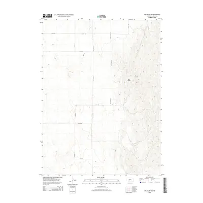
2014 Map of Wellfleet NW
USGS Topo · Published 2014About this map
Moran Canyon and Well Canyon define the complex, deeply eroded drainage systems that dominate the eastern portion of this Lincoln County landscape. This 2014 survey reveals a transition from these broken canyonlands to the more orderly agricultural grid of the western uplands. The rural infrastructure is anchored by historical corridors like Old Highway 83 and a network of section-line roads such as Branting Rd and Lone Star Rd.
Find a feature on this map
14 named features on this map. Tap any name to fly to it.
Don’t see what you’re looking for? This feature index may not catch every label — zoom into the map to look around manually.
Map Details
Editions of this 2014 Wellfleet NW Map
This is the sole edition of this map. No revisions or reprints were ever made.
Other maps of this area

1899 · North Platte
USGS Topo · 1:125,000

1902 · North Platte
USGS Topo · 1:125,000

1954 · McCook
USGS Topo · 1:250,000

1954 · North Platte
USGS Topo · 1:250,000

1956 · North Platte
USGS Topo · 1:250,000

1956 · Wellfleet NW
USGS Topo · 1:24,000

1956 · Somerset
USGS Topo · 1:24,000

1956 · Wellfleet SE
USGS Topo · 1:24,000

1956 · Wellfleet
USGS Topo · 1:24,000

1956 · Wellfleet NE
USGS Topo · 1:24,000