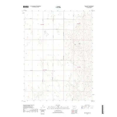
2017 Map of Wellfleet NW
USGS Topo · Published 2017About this map
The dissected tablelands of Lincoln County are defined by deep drainage patterns like Well Canyon and Moran Canyon in this 2017 survey. The landscape is structured by a strict section-line grid of rural routes, including Section Rd and E Dairy Rd, reflecting the enduring township-and-range land system. Cultural heritage is anchored by long-established thoroughfares such as Old Us Hwy 83 and its former alignment, S Old Highway 83. A notable reference to local education history survives in the name of District 31 School Rd, marking where a country school once served the surrounding ranching and farming community. The topography reveals the intricate erosion of the Nebraska Loess Hills, where ridges and draws dictate the path of secondary roads like E Watts Rd and Branting Rd.
Find a feature on this map
19 named features on this map. Tap any name to fly to it.
Don’t see what you’re looking for? This feature index may not catch every label — zoom into the map to look around manually.
Map Details
Editions of this 2017 Wellfleet NW Map
This is the sole edition of this map. No revisions or reprints were ever made.
Other maps of this area

1899 · North Platte
USGS Topo · 1:125,000

1902 · North Platte
USGS Topo · 1:125,000

1954 · McCook
USGS Topo · 1:250,000

1954 · North Platte
USGS Topo · 1:250,000

1956 · North Platte
USGS Topo · 1:250,000

1956 · Wellfleet NW
USGS Topo · 1:24,000

1956 · Somerset
USGS Topo · 1:24,000

1956 · Wellfleet SE
USGS Topo · 1:24,000

1956 · Wellfleet
USGS Topo · 1:24,000

1956 · Wellfleet NE
USGS Topo · 1:24,000