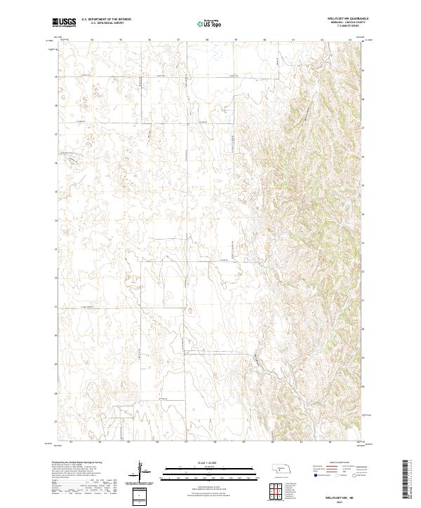
2021 Map of Wellfleet NW
USGS Topo · Published 2021About this map
The dissected canyon country of Lincoln County, Nebraska, is clearly defined on this 2021 survey, where the landscape is marked by deep drainage patterns and a sprawling rural road network. Moran Canyon and Well Canyon cut through the high plains, illustrating the significant erosion that characterizes this part of the state. The section lines are traced by routes such as District 31 School Rd and S Old Highway 83, showing how 20th-century transportation infrastructure adapted to the natural contours of the land. These roads connect isolated ranching and agricultural tracts, with names like E Lone Star Rd and E Hedgeapple Rd hinting at the local history and naming conventions of the region. This modern topographic record captures the enduring pattern of the Public Land Survey System, dividing the territory into clear townships including t12n r30w and t11n r29w.
Find a feature on this map
21 named features on this map. Tap any name to fly to it.
Don’t see what you’re looking for? This feature index may not catch every label — zoom into the map to look around manually.
Map Details
Editions of this 2021 Wellfleet NW Map
This is the sole edition of this map. No revisions or reprints were ever made.
Other maps of this area

1899 · North Platte
USGS Topo · 1:125,000

1902 · North Platte
USGS Topo · 1:125,000

1954 · McCook
USGS Topo · 1:250,000

1954 · North Platte
USGS Topo · 1:250,000

1956 · North Platte
USGS Topo · 1:250,000

1956 · Wellfleet NW
USGS Topo · 1:24,000

1956 · Somerset
USGS Topo · 1:24,000

1956 · Wellfleet SE
USGS Topo · 1:24,000

1956 · Wellfleet
USGS Topo · 1:24,000

1956 · Wellfleet NE
USGS Topo · 1:24,000