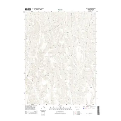
2014 Map of Wellfleet SE
USGS Topo · Published 2014About this map
Deep-cut drainage systems define this portion of Lincoln County, where the erosion of the High Plains has created a labyrinth of canyons and ridges. Cut Canyon and Well Canyon dominate the western and central reaches, while Richman Canyon carves through the southeast. The land is navigated by a network of rural routes that often follow the natural topography, such as Mammoth Rd and Ridge Rd.
Find a feature on this map
17 named features on this map. Tap any name to fly to it.
Don’t see what you’re looking for? This feature index may not catch every label — zoom into the map to look around manually.
Map Details
Editions of this 2014 Wellfleet SE Map
This is the sole edition of this map. No revisions or reprints were ever made.
Other maps of this area

1902 · Gothenburg
USGS Topo · 1:125,000

1954 · McCook
USGS Topo · 1:250,000

1956 · Jeffrey Reservoir SW
USGS Topo · 1:24,000

1956 · Wellfleet NW
USGS Topo · 1:24,000

1956 · Moorefield
USGS Topo · 1:24,000

1956 · Curtis NW
USGS Topo · 1:24,000

1956 · Curtis
USGS Topo · 1:24,000

1956 · Wellfleet SE
USGS Topo · 1:24,000

1956 · Wellfleet
USGS Topo · 1:24,000

1956 · Wellfleet NE
USGS Topo · 1:24,000