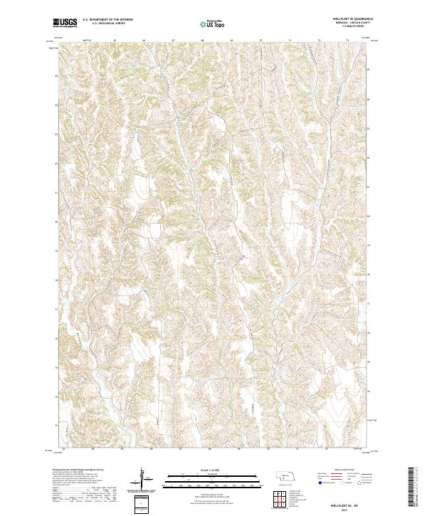
2021 Map of Wellfleet SE
USGS Topo · Published 2021About this map
Deeply incised canyons and high ridges define this corner of Lincoln County, where the topography dictates a winding network of rural roads. Cut Canyon and Well Canyon dominate the central and southwestern portions of the landscape, while Fox Creek drains the northeastern section. This modern survey shows how land management and transportation remain tied to the complex drainage patterns of the region. A long-established transit corridor is preserved along S Old Hwy 83 in the southwest, while more localized routes like S Box Elder Canyon Rd and S Cottonwood Canyon Rd provide access to the remote canyon floors. Local naming traditions are evident in features such as Hansen Hill Rd and Government Pocket Rd, which point to the family legacies and public land history of this Nebraska cattle country.
Find a feature on this map
21 named features on this map. Tap any name to fly to it.
Don’t see what you’re looking for? This feature index may not catch every label — zoom into the map to look around manually.
Map Details
Editions of this 2021 Wellfleet SE Map
This is the sole edition of this map. No revisions or reprints were ever made.
Other maps of this area

1902 · Gothenburg
USGS Topo · 1:125,000

1954 · McCook
USGS Topo · 1:250,000

1956 · Jeffrey Reservoir SW
USGS Topo · 1:24,000

1956 · Wellfleet NW
USGS Topo · 1:24,000

1956 · Moorefield
USGS Topo · 1:24,000

1956 · Curtis NW
USGS Topo · 1:24,000

1956 · Curtis
USGS Topo · 1:24,000

1956 · Wellfleet SE
USGS Topo · 1:24,000

1956 · Wellfleet
USGS Topo · 1:24,000

1956 · Wellfleet NE
USGS Topo · 1:24,000