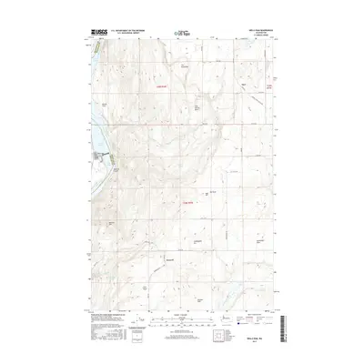
2017 Map of Wells Dam
USGS Topo · Published 2017About this map
The Wells Dam powerhouse and spillway structure define the western edge of this 2017 survey, separating Lake Pateros from the northern reaches of Lake Entiat along the Columbia River. The map illustrates the complex intersection of the river's hydroelectric development with the high plateau of Douglas County. To the east, the landscape rises toward Dyer Hill and the small settlement of Dyer, which sits near the junction of Old Dyer and Central Ferry Canyon Rd.
Find a feature on this map
48 named features on this map. Tap any name to fly to it.
Don’t see what you’re looking for? This feature index may not catch every label — zoom into the map to look around manually.
Map Details
Editions of this 2017 Wells Dam Map
This is the sole edition of this map. No revisions or reprints were ever made.
Other maps of this area

1905 · Okanogan
USGS Topo · 1:125,000

1953 · Ritzville
USGS Topo · 1:250,000

1954 · Okanogan
USGS Topo · 1:250,000

1957 · Bridgeport
USGS Topo · 1:62,500

1957 · Brewster
USGS Topo · 1:62,500

1958 · Okanogan
USGS Topo · 1:250,000

1959 · Ritzville
USGS Topo · 1:250,000

1965 · Ritzville
USGS Topo · 1:250,000

1968 · Chelan Falls
USGS Topo · 1:24,000

1968 · Chief Joseph Dam
USGS Topo · 1:24,000