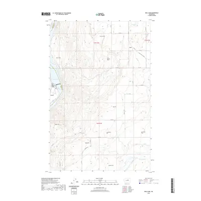
2020 Map of Wells Dam
USGS Topo · Published 2020About this map
Lake Pateros and Lake Entiat define the western edge of this 2020 landscape, where the Columbia River corridor meets the high plateaus of Douglas County. The small community of Azwell sits along the shoreline, marking a transition from the river valley to the expansive agricultural lands above. High-altitude features like The Horseshoe and Sourdough Flats suggest a geography shaped by glacial activity and wind-swept terrain, typical of the Okanogan-Douglas county line area.
Map Details
Editions of this 2020 Wells Dam Map
This is the sole edition of this map. No revisions or reprints were ever made.
Other maps of this area

1905 · Okanogan
USGS Topo · 1:125,000

1953 · Ritzville
USGS Topo · 1:250,000

1954 · Okanogan
USGS Topo · 1:250,000

1957 · Bridgeport
USGS Topo · 1:62,500

1957 · Brewster
USGS Topo · 1:62,500

1958 · Okanogan
USGS Topo · 1:250,000

1959 · Ritzville
USGS Topo · 1:250,000

1965 · Ritzville
USGS Topo · 1:250,000

1968 · Chelan Falls
USGS Topo · 1:24,000

1968 · Chief Joseph Dam
USGS Topo · 1:24,000