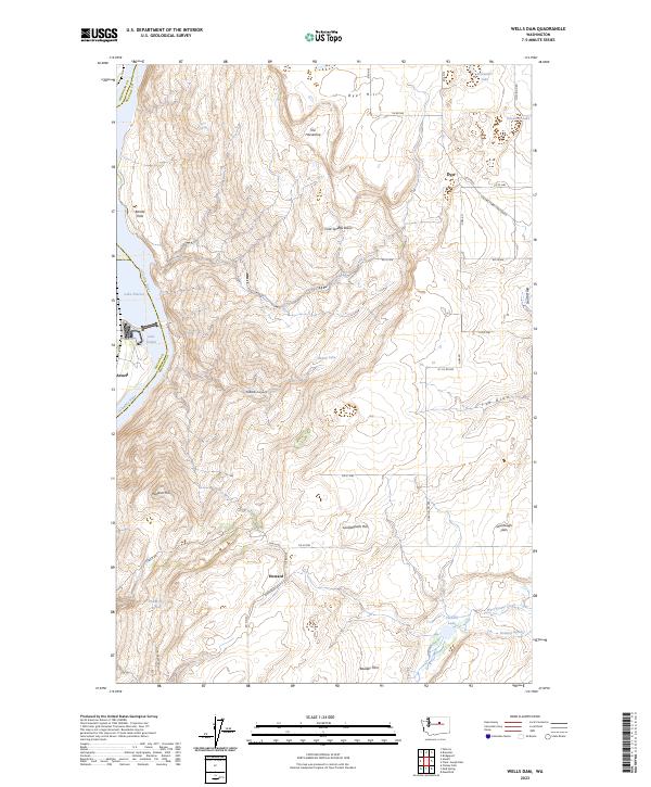
2023 Map of Wells Dam
USGS Topo · Published 2023About this map
Douglas County landscape, where high plateaus meet the river valley, is characterized by a series of significant topographic points including Dyer Hill, Windsor Hill, and Landingham Hill. The terrain drops sharply toward the west where Lake Pateros and Lake Entiat define the flow of the Columbia River between Chelan and Douglas counties. The area is marked by numerous springs and lakes tucked into the high country, such as Pattle Big Spring, Alexander Lake, and Corner Lake. Scattered settlements and family-named locations like Howard, Dyer, and Azwell are linked by a network of rural roads that traverse landmarks like Cold Springs Basin and the Sourdough Flats, reflecting the agricultural and ranching history of this central Washington region.
Map Details
Editions of this 2023 Wells Dam Map
This is the sole edition of this map. No revisions or reprints were ever made.
Other maps of this area

1905 · Okanogan
USGS Topo · 1:125,000

1953 · Ritzville
USGS Topo · 1:250,000

1954 · Okanogan
USGS Topo · 1:250,000

1957 · Bridgeport
USGS Topo · 1:62,500

1957 · Brewster
USGS Topo · 1:62,500

1958 · Okanogan
USGS Topo · 1:250,000

1959 · Ritzville
USGS Topo · 1:250,000

1965 · Ritzville
USGS Topo · 1:250,000

1968 · Chelan Falls
USGS Topo · 1:24,000

1968 · Chief Joseph Dam
USGS Topo · 1:24,000