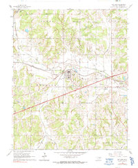
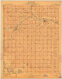
1966 Map of Wellston
USGS Topo · Published 1991About this map
The town of Wellston serves as a central hub in this mid-1960s landscape, positioned where the Deep Fork river and the St Louis - San Francisco Old Railroad Grade converge. This era of Oklahoma history is defined by the modernization of transit, illustrated by the presence of the Turner Toll Road (Turnpike) cutting through the rural terrain, complete with its specific Tollgate location. Beyond the main settlements of Fallis and Warwick, the map reveals a countryside shaped by energy and industry, marked by numerous Oil Wells and a persistent network of a Gas Field and Pipeline infrastructure.
Find a feature on this map
32 named features on this map. Tap any name to fly to it.
Don’t see what you’re looking for? This feature index may not catch every label — zoom into the map to look around manually.
Map Details
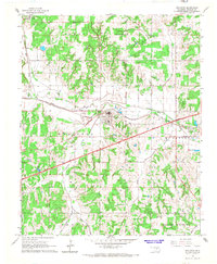
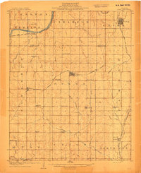
Editions of this 1966 Wellston Map
2 editions found
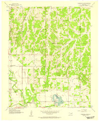
Other maps of this area
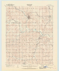
1905 · Chandler
USGS Topo · 1:62,500
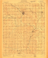
1907 · Chandler
USGS Topo · 1:62,500
1908 · Agra
USGS Topo · 1:62,500
1909 · Luther
USGS Topo · 1:62,500

1909 · Perkins
USGS Topo · 1:62,500

1954 · Oklahoma City
USGS Topo · 1:250,000
1956 · Horseshoe Lake
USGS Topo · 1:24,000

1957 · Oklahoma City
USGS Topo · 1:250,000

1963 · Oklahoma City
USGS Topo · 1:250,000
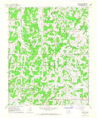
1966 · Luther SE
USGS Topo · 1:24,000