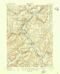
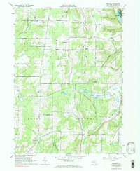
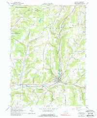
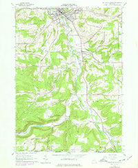
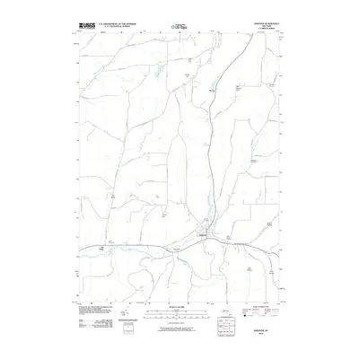
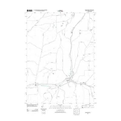
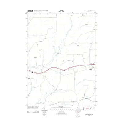
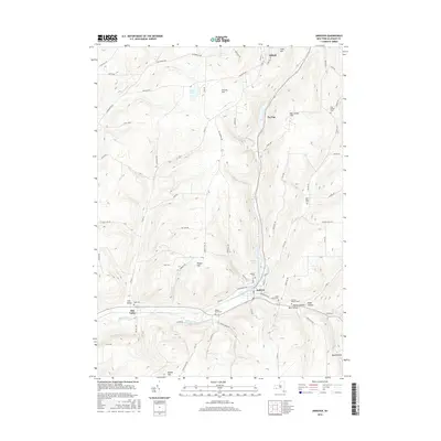
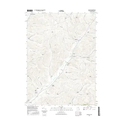
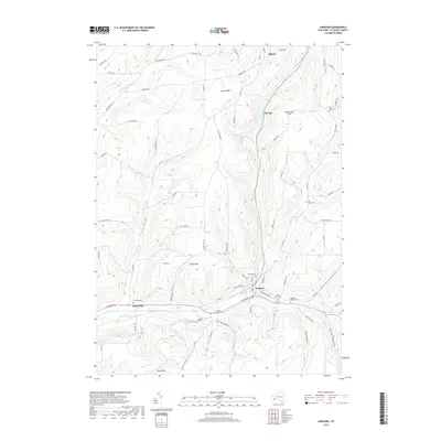
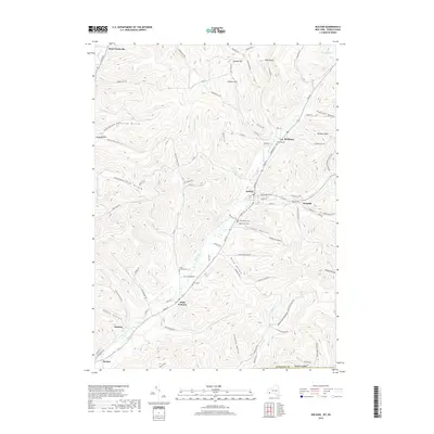
1926 Map of Wellsville
USGS Topo · Published 1944About this map
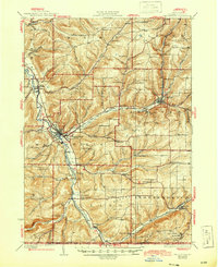
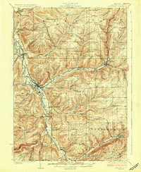
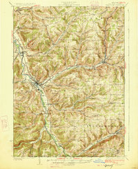
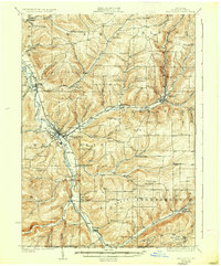
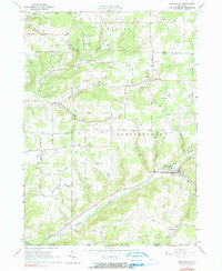
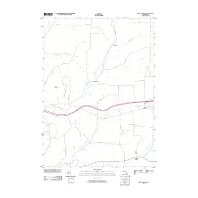
The Genesee River valley dominates this mid-1920s survey, serving as a primary corridor for both the Erie R R and the Pennsylvania R R as they navigate the Allegany County highlands. The village of Wellsville emerges as a significant regional hub, where the river meets Dyke Creek and the rail lines converge. Outside the valley floor, the landscape is defined by a dense network of numbered school districts and named hollows, such as Whiteman Hollow and Knight Hollow, reflecting a robust rural population engaged in upland farming. Transport routes like the Liberty Highway connect established settlements including Andover and Whitesville. Smaller communities like Stannards Corners, York Corners, and the Irish Settlement provide evidence of early 20th-century social clusters centered around crossroad schoolhouses and local creek branches like Chenunda Creek.
Find a feature on this map
77 named features on this map. Tap any name to fly to it.
Don’t see what you’re looking for? This feature index may not catch every label — zoom into the map to look around manually.
Map Details
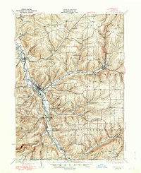
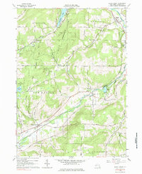
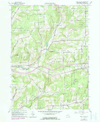
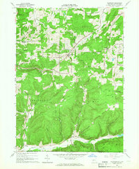
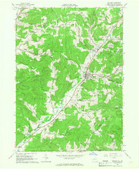
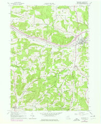
Editions of this 1926 Wellsville Map
5 editions found
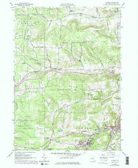
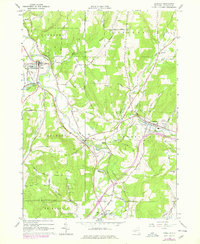
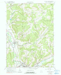
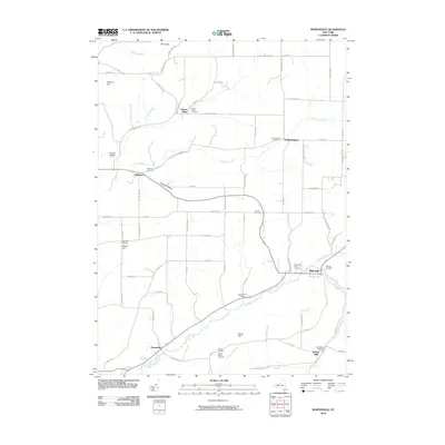
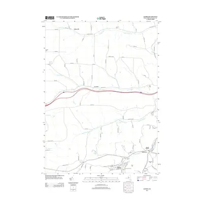
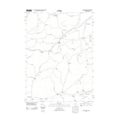
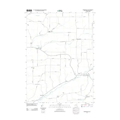
Historical Maps of Wellsville Through Time
75 maps found
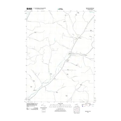
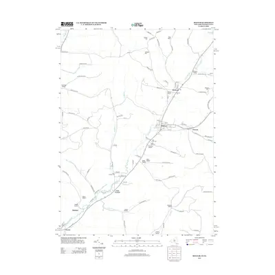
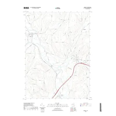
1906 Angelica
Allegany County, NY
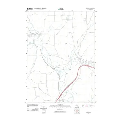
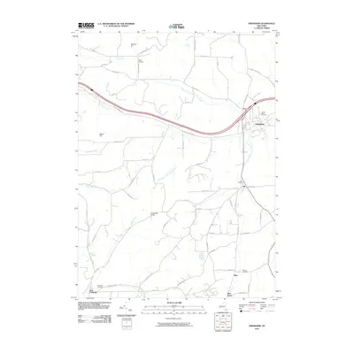
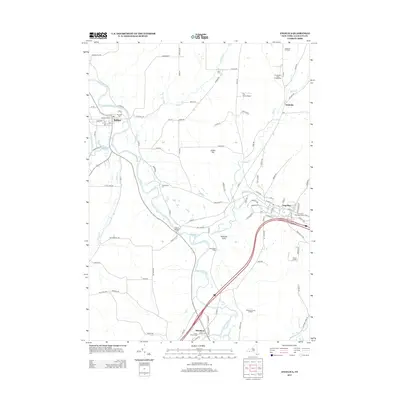
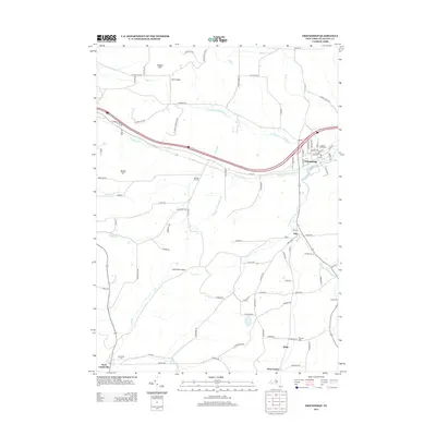
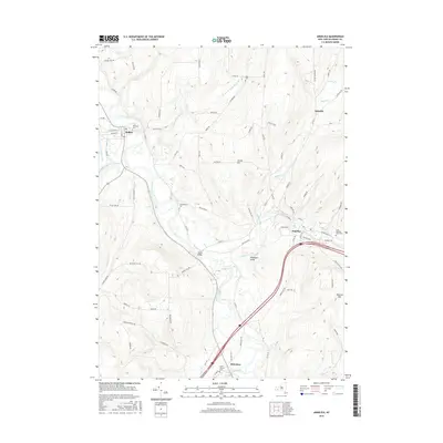
1926 Wellsville
Allegany County, NY

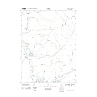
1941 Angelica
Allegany County, NY
1964 Alfred
Allegany County, NY
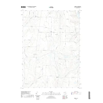
1964 Angelica
Allegany County, NY
1964 Birdsall
Allegany County, NY
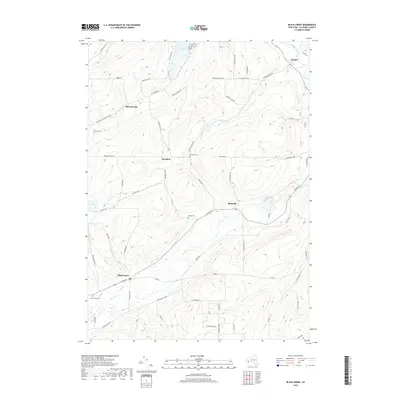
1964 Black Creek
Allegany County, NY
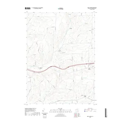
1964 West Almond
Allegany County, NY
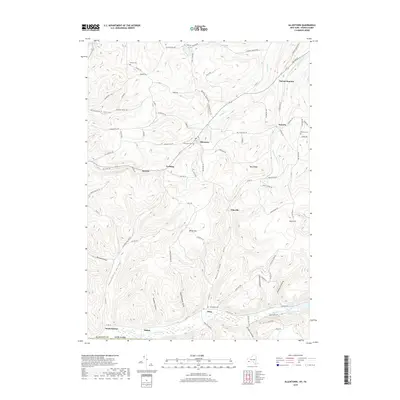
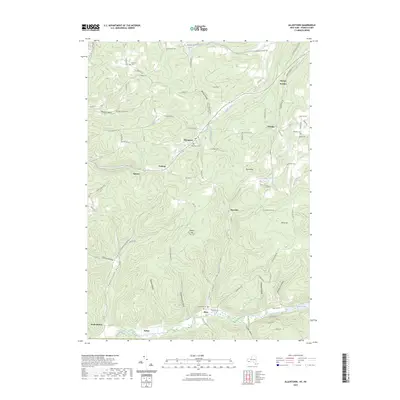
1965 Allentown
Allegany County, NY
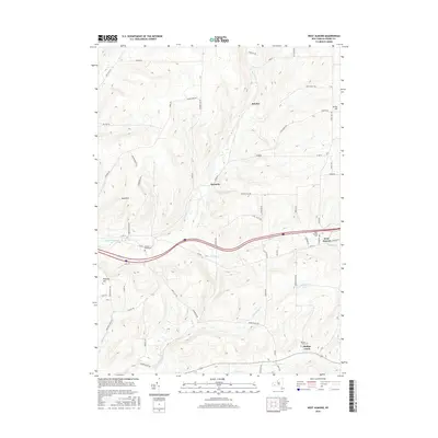
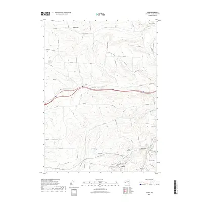
1965 Andover
Allegany County, NY
1965 Bolivar
Allegany County, NY
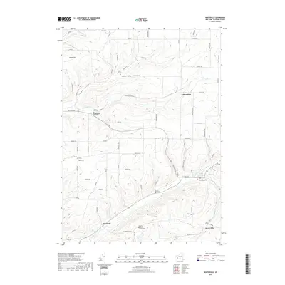
1965 Friendship
Allegany County, NY
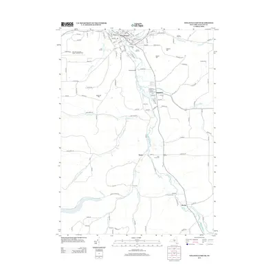
1965 Wellsville North
Allegany County, NY
1965 Wellsville South
Allegany County, NY
1965 Whitesville
Allegany County, NY
2010 Alfred
Allegany County, NY
2010 Allentown
Allegany County, NY
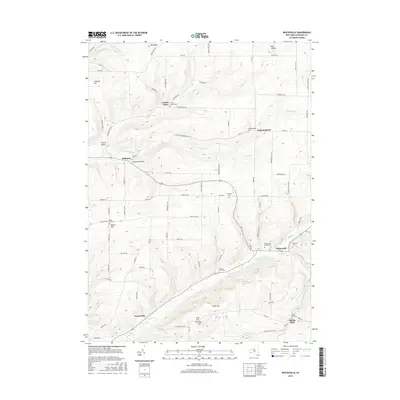
2010 Andover
Allegany County, NY
2010 Angelica
Allegany County, NY
2010 Birdsall
Allegany County, NY
2010 Black Creek
Allegany County, NY
2010 Bolivar
Allegany County, NY
2010 Friendship
Allegany County, NY
2010 Wellsville North
Allegany County, NY
2010 Wellsville South
Allegany County, NY
2010 West Almond
Allegany County, NY
2010 Whitesville
Allegany County, NY
2013 Alfred
Allegany County, NY
2013 Allentown
Allegany County, NY
2013 Andover
Allegany County, NY
2013 Angelica
Allegany County, NY
2013 Birdsall
Allegany County, NY
2013 Black Creek
Allegany County, NY
2013 Bolivar
Allegany County, NY
2013 Friendship
Allegany County, NY
2013 Wellsville North
Allegany County, NY
2013 Wellsville South
Allegany County, NY
2013 West Almond
Allegany County, NY
2013 Whitesville
Allegany County, NY
2016 Alfred
Allegany County, NY
2016 Allentown
Allegany County, NY
2016 Andover
Allegany County, NY
2016 Angelica
Allegany County, NY
2016 Birdsall
Allegany County, NY
2016 Black Creek
Allegany County, NY
2016 Bolivar
Allegany County, NY
2016 Friendship
Allegany County, NY
2016 Wellsville North
Allegany County, NY
2016 Wellsville South
Allegany County, NY
2016 West Almond
Allegany County, NY
2016 Whitesville
Allegany County, NY
2019 Alfred
Allegany County, NY
2019 Allentown
Allegany County, NY
2019 Andover
Allegany County, NY
2019 Angelica
Allegany County, NY
2019 Birdsall
Allegany County, NY
2019 Black Creek
Allegany County, NY
2019 Bolivar
Allegany County, NY
2019 Friendship
Allegany County, NY
2019 Wellsville North
Allegany County, NY
2019 Wellsville South
Allegany County, NY
2019 West Almond
Allegany County, NY
2019 Whitesville
Allegany County, NY

2023 Alfred
Allegany County, NY
2023 Allentown
Allegany County, NY

2023 Andover
Allegany County, NY

2023 Angelica
Allegany County, NY

2023 Birdsall
Allegany County, NY

2023 Black Creek
Allegany County, NY

2023 Bolivar
Allegany County, NY

2023 Friendship
Allegany County, NY

2023 Wellsville North
Allegany County, NY

2023 Wellsville South
Allegany County, NY

2023 West Almond
Allegany County, NY

2023 Whitesville
Allegany County, NY