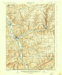
1926 Map of Wellsville
USGS Topo · Published 1936About this map
The Genesee River carves a deep valley through Allegany County, anchoring the industrial and transport hubs of Wellsville and Andover during the mid-1920s. This survey records the heavy influence of the Erie R.R. and the Liberty Highway in shaping the region's connectivity, while the surrounding uplands like Beech Hill remain dotted with numerous rural district schools. In the southern reaches, the New York Pennsylvania Boundary Line cuts across the landscape near the settlement of Shongo. Small family-named hollows such as Whiteman Hollow and Duffy Hollow illustrate the rugged topography that funnels traffic toward the river basins. Notable local landmarks like the Weidrich Bridge and the Stone Dam on the Genesee River provide specific points of interest for researchers tracing early twentieth-century infrastructure and water management in the Southern Tier.
Find a feature on this map
79 named features on this map. Tap any name to fly to it.
Don’t see what you’re looking for? This feature index may not catch every label — zoom into the map to look around manually.
Map Details
Editions of this 1926 Wellsville Map
5 editions found
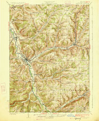
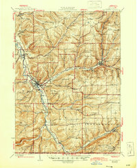
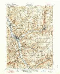
Other maps of this area

1899 · Gaines
USGS Topo · 1:62,500

1900 · Gaines
USGS Topo · 1:62,500

1906 · Angelica
USGS Topo · 1:62,500

1915 · Hornell
USGS Topo · 1:62,500

1916 · Canaseraga
USGS Topo · 1:62,500

1918 · Hornell
USGS Topo · 1:62,500

1925 · Belmont
USGS Topo · 1:62,500

1926 · Wellsville
USGS Topo · 1:62,500

1926 · Greenwood
USGS Topo · 1:62,500

1932 · Genesee
USGS Topo · 1:62,500