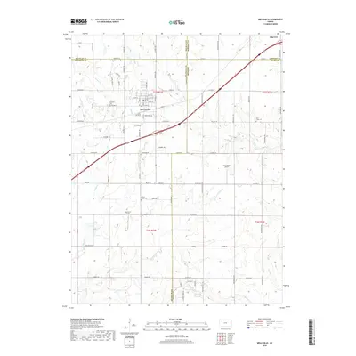
2018 Map of Wellsville
USGS Topo · Published 2018About this map
Wellsville and Edgerton serve as the primary hubs for this region of eastern Kansas, where the landscape is defined by its transition across the borders of Johnson, Douglas, Franklin, and Miami Counties. The town of Wellsville shows a well-defined residential grid featuring Main St and Maple St, while local rural aviation is represented by Hartland Airport and Amar Farms Airport. Genealogy interests are served by several historically significant burial grounds, including Wellsville Cem, Walnut Creek Cem, and Rock Creek Cem. The terrain is characterized by a series of south-draining waterways such as Walnut Cr, Hickory Cr, and Turkey Cr, which likely influenced the early agricultural settlement patterns evident in the dispersed farmstead locations and the established road network following section lines.
Find a feature on this map
79 named features on this map. Tap any name to fly to it.
Don’t see what you’re looking for? This feature index may not catch every label — zoom into the map to look around manually.
Map Details
Editions of this 2018 Wellsville Map
This is the sole edition of this map. No revisions or reprints were ever made.
Other maps of this area

1885 · Lawrence
USGS Topo · 1:125,000

1887 · Olathe
USGS Topo · 1:125,000

1889 · Lawrence
USGS Topo · 1:125,000

1893 · Olathe
USGS Topo · 1:125,000

1947 · Lawrence
USGS Topo · 1:250,000

1950 · Lawrence
USGS Topo · 1:250,000

1956 · Wellsville
USGS Topo · 1:24,000

1956 · Le Loup
USGS Topo · 1:24,000
1956 · Edgerton
USGS Topo · 1:24,000

1956 · Lawrence
USGS Topo · 1:250,000