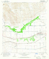
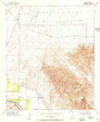
1965 Map of Wellton
USGS Topo · Published 1966About this map
Wellton serves as the primary settlement and transit hub in this mid-century desert landscape, situated at the junction of agricultural life and industrial transport. The Southern Pacific railroad runs parallel to the Mohawk Canal, tracing the southern edge of a valley heavily defined by irrigation efforts. North of the town, the Gila River meanders toward the Dome Valley, bordered by a complex system of water management features including the Mohawk Main Channel and several siphons.
Find a feature on this map
34 named features on this map. Tap any name to fly to it.
Don’t see what you’re looking for? This feature index may not catch every label — zoom into the map to look around manually.
Map Details
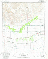
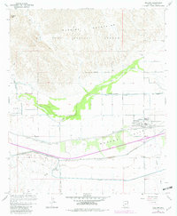
Editions of this 1965 Wellton Map
3 editions found
Other maps of this area
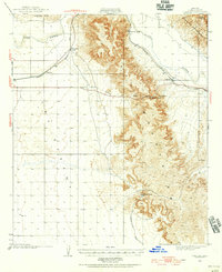
1926 · Fortuna
USGS Topo · 1:62,500
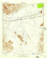
1926 · Wellton
USGS Topo · 1:62,500
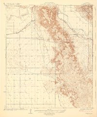
1929 · Fortuna
USGS Topo · 1:62,500
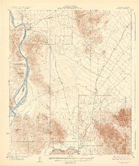
1929 · Laguna
USGS Topo · 1:62,500
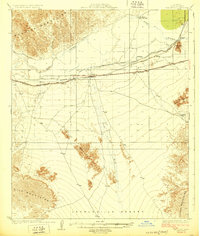
1929 · Wellton
USGS Topo · 1:62,500
1942 · Yuma
USGS Topo · 1:250,000
1943 · Laguna
USGS Topo · 1:62,500
1954 · El Centro
USGS Topo · 1:250,000
1955 · El Centro
USGS Topo · 1:250,000
1955 · Dome
USGS Topo · 1:24,000