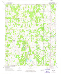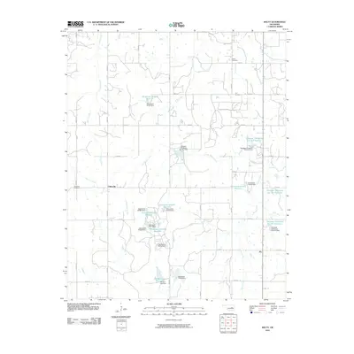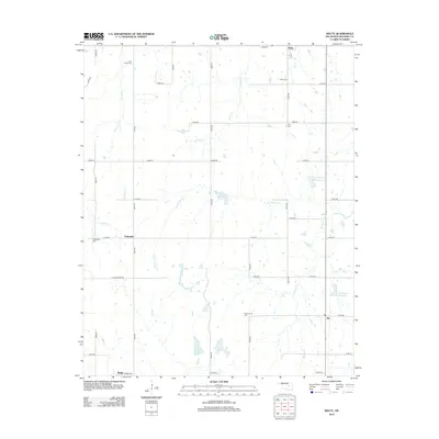
2022 Map of Welty
USGS Topo · Published 2022About this map
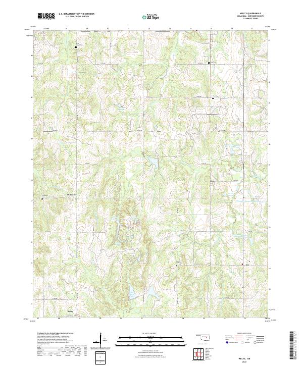
Boley and the surrounding Okfuskee County townships are defined by a grid of rural section roads and scattered small communities. This landscape is characterized by a high concentration of local burial grounds, including Grant Chapel Cem, Welty Cem, and Valley Grove Cem, which serve as vital markers of the area's family history and settlement patterns. The terrain is drained by several waterways, notably Spring Cr and Wolfe Cr, along with numerous managed water bodies such as Red Bird Lake and the Okfuskee Tributaries Site W-8 Reservoir.
Find a feature on this map
44 named features on this map. Tap any name to fly to it.
Don’t see what you’re looking for? This feature index may not catch every label — zoom into the map to look around manually.
Map Details
Editions of this 2022 Welty Map
This is the sole edition of this map. No revisions or reprints were ever made.
Historical Maps of Boley Through Time
6 maps found