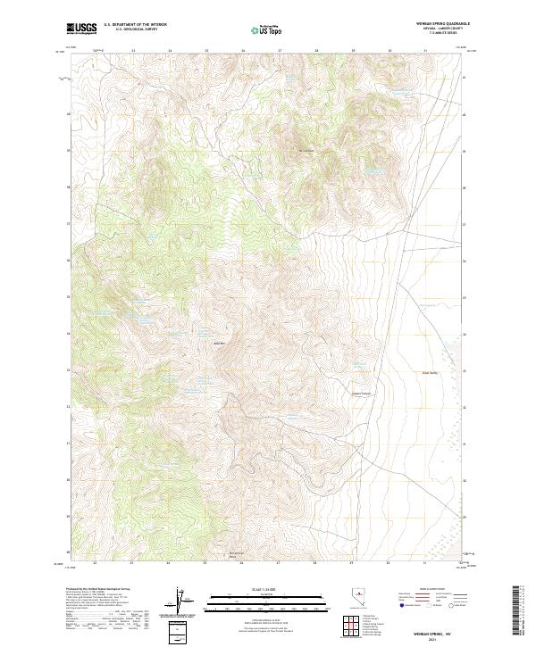
2021 Map of Wenban Spring
USGS Topo · Published 2021About this map
Mt Caetano and Bald Mtn anchor this high-elevation terrain in Lander County, where the landscape is defined by its complex network of seasonal and perennial water sources. The map reveals an intricate naming convention for these critical springs, particularly the series of Goyeneche Springs and the uniquely named Spaghetti Springs cluster. These water points were essential for life in the arid Great Basin, supporting both local wildlife and historical livestock grazing operations. Below the higher peaks, the terrain descends into Grass Valley and passes through Copper Canyon, illustrating the transition from steep mountain slopes to the alluvial floors. At the southern edge, Hot Springs Point indicates geothermal activity, while features like Coal Canyon Spring and Bush Creek Spring highlight the scattered nature of hydration points throughout this remote Nevada range.
Find a feature on this map
29 named features on this map. Tap any name to fly to it.
Don’t see what you’re looking for? This feature index may not catch every label — zoom into the map to look around manually.
Map Details
Editions of this 2021 Wenban Spring Map
This is the sole edition of this map. No revisions or reprints were ever made.
Other maps of this area

1926 · Roberts Mountains
USGS Topo · 1:250,000

1929 · Roberts Mountains
USGS Topo · 1:250,000

1938 · Cortez
USGS Topo · 1:48,000

1944 · Cortez
USGS Topo · 1:62,500

1955 · Millett
USGS Topo · 1:250,000

1955 · Winnemucca
USGS Topo · 1:250,000

1956 · Walti Hot Springs
USGS Topo · 1:62,500

1956 · Hall Creek
USGS Topo · 1:62,500

1958 · Winnemucca
USGS Topo · 1:250,000

1959 · Millett
USGS Topo · 1:250,000