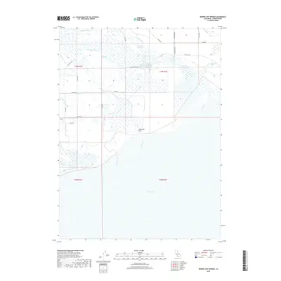
2018 Map of Wendel Hot Springs
USGS Topo · Published 2018About this map
Honey Lake Valley is dominated by the expansive, shallow basin of Honey Lake and a complex network of waterways that define this corner of Lassen County. The landscape is characterized by its hydraulic management, featuring the Woodstock Canal and a prominent Levee system alongside numerous natural sloughs like Tanner Slough and Gilhooley Slough. The thermal activity of the region is anchored by Wendel Hot Springs, located near the northern reaches where the Susan River flows toward the lake bed. Local ranching and transportation are evidenced by family-named routes such as McClelland Ln, Alexander Ln, and Galeppi Rd, which navigate the wetlands and agricultural tracts. This 2018 survey provides a clear view of the modern hydrological state of the basin, from the Fleming Reservoir to the terminal drainage of Dill Slough.
Find a feature on this map
29 named features on this map. Tap any name to fly to it.
Don’t see what you’re looking for? This feature index may not catch every label — zoom into the map to look around manually.
Map Details
Editions of this 2018 Wendel Hot Springs Map
This is the sole edition of this map. No revisions or reprints were ever made.
Other maps of this area

1886 · Honey Lake
USGS Topo · 1:250,000

1891 · Honey Lake
USGS Topo · 1:250,000

1893 · Honey Lake
USGS Topo · 1:250,000

1950 · Milford
USGS Topo · 1:62,500

1954 · Wendel
USGS Topo · 1:62,500

1954 · Litchfield
USGS Topo · 1:62,500

1954 · Doyle
USGS Topo · 1:62,500

1955 · Westwood
USGS Topo · 1:250,000

1958 · Westwood
USGS Topo · 1:250,000

1959 · Westwood
USGS Topo · 1:250,000