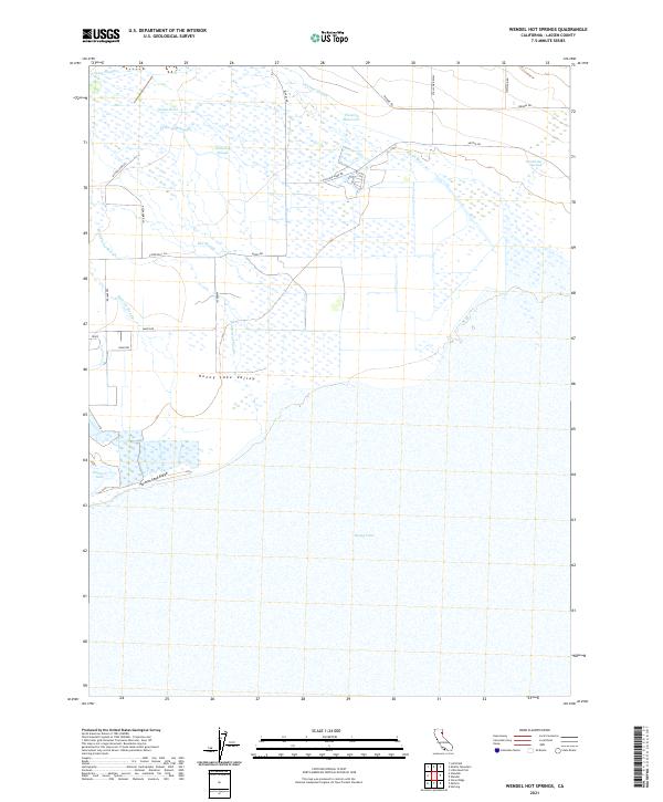
2021 Map of Wendel Hot Springs
USGS Topo · Published 2021About this map
Honey Lake Valley is defined by a complex hydrology of sloughs and seasonal water bodies in this eastern Lassen County landscape. The massive expanse of Honey Lake dominates the southern portion of the sheet, where the shoreline meets the Hartson Sand Ridge and Hartson Lake. To the north, the Susan River winds through the basin, fed by a network of drainage channels including Gilhooley Slough, Tanner Slough, and Whitehead Slough.
Find a feature on this map
29 named features on this map. Tap any name to fly to it.
Don’t see what you’re looking for? This feature index may not catch every label — zoom into the map to look around manually.
Map Details
Editions of this 2021 Wendel Hot Springs Map
This is the sole edition of this map. No revisions or reprints were ever made.
Other maps of this area

1886 · Honey Lake
USGS Topo · 1:250,000

1891 · Honey Lake
USGS Topo · 1:250,000

1893 · Honey Lake
USGS Topo · 1:250,000

1950 · Milford
USGS Topo · 1:62,500

1954 · Wendel
USGS Topo · 1:62,500

1954 · Litchfield
USGS Topo · 1:62,500

1954 · Doyle
USGS Topo · 1:62,500

1955 · Westwood
USGS Topo · 1:250,000

1958 · Westwood
USGS Topo · 1:250,000

1959 · Westwood
USGS Topo · 1:250,000