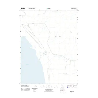
2012 Map of Wendel
USGS Topo · Published 2012About this map
The high desert landscape of eastern Lassen County reveals a complex history of military and natural resources near the shores of Honey Lake. The small settlement of Wendel serves as a local hub, connected to the surrounding terrain by a network of rural routes including Antola Rd and Wendel Rd. This arid region is defined by significant water management and geological features, from the Eagle Lake Ditch cutting across the northwest to the Amedee Hot Springs located near the lake's edge. To the east, the Amedee Mountains rise above the basin, marked by James Canyon and Amedee Canyon. The presence of the Amedee Army Airfield highlights the strategic military footprint in this part of California, while the label for the Pearson Massacre serves as a stark reminder of the area's frontier history.
Find a feature on this map
19 named features on this map. Tap any name to fly to it.
Don’t see what you’re looking for? This feature index may not catch every label — zoom into the map to look around manually.
Map Details
Editions of this 2012 Wendel Map
This is the sole edition of this map. No revisions or reprints were ever made.
Other maps of this area

1886 · Honey Lake
USGS Topo · 1:250,000

1891 · Honey Lake
USGS Topo · 1:250,000

1893 · Honey Lake
USGS Topo · 1:250,000

1950 · Milford
USGS Topo · 1:62,500

1954 · Wendel
USGS Topo · 1:62,500

1954 · Litchfield
USGS Topo · 1:62,500

1954 · Doyle
USGS Topo · 1:62,500

1955 · Westwood
USGS Topo · 1:250,000

1958 · Westwood
USGS Topo · 1:250,000

1959 · Westwood
USGS Topo · 1:250,000