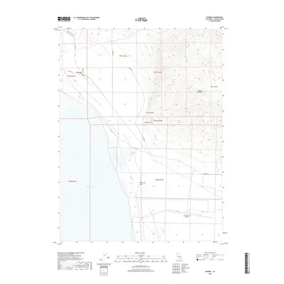
2018 Map of Wendel
USGS Topo · Published 2018About this map
Wendel sits at the northern edge of the Honey Lake Valley, a high desert landscape where geothermal activity and military history meet. The eastern shoreline of Honey Lake dominates the southwestern portion of the map, characterized by the Amedee Hot Springs and the expansive flatlands that support the Amedee Army Airfield. To the north, the terrain rises sharply into the Amedee Mountains and is dissected by deep cuts like James Canyon and Wendel Canyon.
Find a feature on this map
23 named features on this map. Tap any name to fly to it.
Don’t see what you’re looking for? This feature index may not catch every label — zoom into the map to look around manually.
Map Details
Editions of this 2018 Wendel Map
This is the sole edition of this map. No revisions or reprints were ever made.
Other maps of this area

1886 · Honey Lake
USGS Topo · 1:250,000

1891 · Honey Lake
USGS Topo · 1:250,000

1893 · Honey Lake
USGS Topo · 1:250,000

1950 · Milford
USGS Topo · 1:62,500

1954 · Wendel
USGS Topo · 1:62,500

1954 · Litchfield
USGS Topo · 1:62,500

1954 · Doyle
USGS Topo · 1:62,500

1955 · Westwood
USGS Topo · 1:250,000

1958 · Westwood
USGS Topo · 1:250,000

1959 · Westwood
USGS Topo · 1:250,000