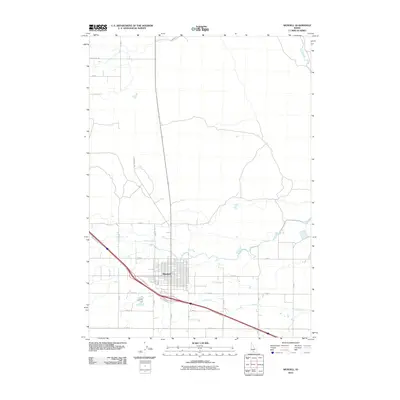
2010 Map of Wendell
USGS Topo · Published 2010About this map
Wendell serves as the central hub of this agricultural landscape in Gooding County, defined by a rigid grid of rural roads and an extensive irrigation network. The town's layout is bordered to the south by the diagonal corridor of N Frontage Rd and Frontage Rd S, which follow the primary highway through the region. Surrounding the settlement, the desert terrain is reclaimed for farming through a complex system of waterways, including the W Canal and several distribution channels such as Lateral S-2, Lateral W-9, and Lateral X-4. These features illustrate the essential role of water management in Idaho's Snake River Plain. The map also traces long-established thoroughfares like Shoestring Rd and N Wendell Rd, which connect remote farmsteads to the commercial center.
Find a feature on this map
23 named features on this map. Tap any name to fly to it.
Don’t see what you’re looking for? This feature index may not catch every label — zoom into the map to look around manually.
Map Details
Editions of this 2010 Wendell Map
This is the sole edition of this map. No revisions or reprints were ever made.
Other maps of this area

1949 · Thousand Springs
USGS Topo · 1:24,000

1949 · Gooding Butte
USGS Topo · 1:24,000

1949 · Tuttle
USGS Topo · 1:24,000

1950 · Gooding Butte
USGS Topo · 1:24,000

1950 · Niagara Springs
USGS Topo · 1:24,000

1950 · Jerome
USGS Topo · 1:24,000

1950 · Jerome
USGS Topo · 1:62,500

1951 · Thousand Springs
USGS Topo · 1:24,000

1951 · Tuttle
USGS Topo · 1:24,000

1954 · Thousand Springs
USGS Topo · 1:24,000