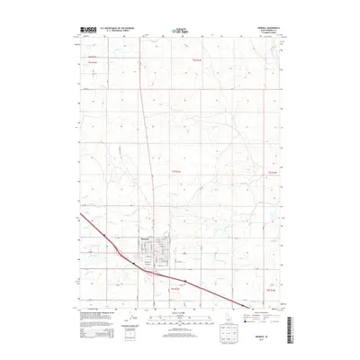
2013 Map of Wendell
USGS Topo · Published 2013About this map
Wendell serves as the focal point of this Gooding County region, defined by a rigid grid of agricultural roads and an extensive network of irrigation canals. The town's layout is centered around an intersection of primary local thoroughfares such as S Idaho St and 8th Ave W, surrounded by township and range divisions. The landscape reveals the critical role of water management in Idaho's high desert, with significant infrastructure like the W Canal and numerous lateral branches including Lateral X-4 and Lateral W-33 feeding the surrounding acreage. Beyond the residential center, the map traces early transport routes such as Shoestring Rd and N Wendell Rd, illustrating how the desert was partitioned into productive farmsteads. This 2013 survey provides a clear view of the rural-to-urban interface as it existed before further 21st-century development.
Find a feature on this map
74 named features on this map. Tap any name to fly to it.
Don’t see what you’re looking for? This feature index may not catch every label — zoom into the map to look around manually.
Map Details
Editions of this 2013 Wendell Map
This is the sole edition of this map. No revisions or reprints were ever made.
Other maps of this area

1949 · Thousand Springs
USGS Topo · 1:24,000

1949 · Gooding Butte
USGS Topo · 1:24,000

1949 · Tuttle
USGS Topo · 1:24,000

1950 · Gooding Butte
USGS Topo · 1:24,000

1950 · Niagara Springs
USGS Topo · 1:24,000

1950 · Jerome
USGS Topo · 1:24,000

1950 · Jerome
USGS Topo · 1:62,500

1951 · Thousand Springs
USGS Topo · 1:24,000

1951 · Tuttle
USGS Topo · 1:24,000

1954 · Thousand Springs
USGS Topo · 1:24,000