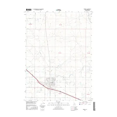
2017 Map of Wendell
USGS Topo · Published 2017About this map
The agricultural hub of Wendell serves as the focal point of this Gooding County survey, illustrating the complex irrigation network vital to the Magic Valley. The landscape is defined by an intricate system of man-made waterways, including the prominent W Canal and a dense web of laterals such as Lateral W-33, Lateral X-1, and Lateral S-2. These features demonstrate the engineered transformation of the high desert into productive farmland.
Find a feature on this map
71 named features on this map. Tap any name to fly to it.
Don’t see what you’re looking for? This feature index may not catch every label — zoom into the map to look around manually.
Map Details
Editions of this 2017 Wendell Map
This is the sole edition of this map. No revisions or reprints were ever made.
Other maps of this area

1949 · Thousand Springs
USGS Topo · 1:24,000

1949 · Gooding Butte
USGS Topo · 1:24,000

1949 · Tuttle
USGS Topo · 1:24,000

1950 · Gooding Butte
USGS Topo · 1:24,000

1950 · Niagara Springs
USGS Topo · 1:24,000

1950 · Jerome
USGS Topo · 1:24,000

1950 · Jerome
USGS Topo · 1:62,500

1951 · Thousand Springs
USGS Topo · 1:24,000

1951 · Tuttle
USGS Topo · 1:24,000

1954 · Thousand Springs
USGS Topo · 1:24,000