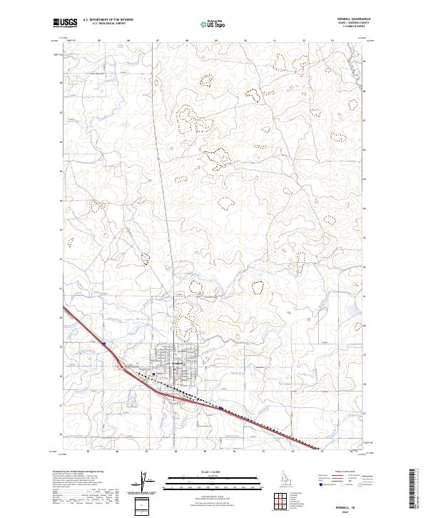
2024 Map of Wendell
USGS Topo · Published 2024About this map
Wendell serves as the central hub of this agricultural landscape, defined by an intricate network of irrigation channels that support the region’s farming economy. The town is organized around a traditional grid including W Main St and Ambrose Ave, with the Wendell Cem located just to the south. This dense system of man-made waterways, including the W Canal and X Canal, reveals the engineered nature of the Idaho plains. Numerous named laterals such as Lateral W-18, Lateral W-33, and Lateral X-3 branch across the terrain, illustrating how water is distributed from major canals to individual sections. Roads like Shoe String Rd and N Wendell Rd follow the rigid township and range boundaries, framing a landscape where transport and irrigation are inextricably linked.
Find a feature on this map
69 named features on this map. Tap any name to fly to it.
Don’t see what you’re looking for? This feature index may not catch every label — zoom into the map to look around manually.
Map Details
Editions of this 2024 Wendell Map
This is the sole edition of this map. No revisions or reprints were ever made.
Other maps of this area

1949 · Thousand Springs
USGS Topo · 1:24,000

1949 · Gooding Butte
USGS Topo · 1:24,000

1949 · Tuttle
USGS Topo · 1:24,000

1950 · Gooding Butte
USGS Topo · 1:24,000

1950 · Niagara Springs
USGS Topo · 1:24,000

1950 · Jerome
USGS Topo · 1:24,000

1950 · Jerome
USGS Topo · 1:62,500

1951 · Thousand Springs
USGS Topo · 1:24,000

1951 · Tuttle
USGS Topo · 1:24,000

1954 · Thousand Springs
USGS Topo · 1:24,000