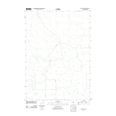
2012 Map of Wendte NE
USGS Topo · Published 2012About this map
The Bad River flows across the northern edge of this Jones County landscape, defining a drainage system that includes several significant tributaries. In the early 21st century, this section of South Dakota is characterized by a network of intermittent streams and draws, most notably Crow Eagle Cr and War Cr. The terrain is sparsely settled, with the primary human footprint evidenced by a geometric grid of rural routes. War Creek Rd and Lincoln Rd provide the essential transit corridors through this open country. The presence of W Br War Cr and numerous small depressions across the prairie highlight the importance of water management in this semi-arid region, where land use is dictated by the natural contours and seasonal flow of the river basin.
Find a feature on this map
7 named features on this map. Tap any name to fly to it.
Don’t see what you’re looking for? This feature index may not catch every label — zoom into the map to look around manually.
Map Details
Editions of this 2012 Wendte NE Map
This is the sole edition of this map. No revisions or reprints were ever made.
Other maps of this area

1924 · Pierre
USGS Topo · 1:62,500

1937 · Oahe
USGS Topo · 1:62,500

1953 · Teton
USGS Topo · 1:24,000

1953 · Oahe SW
USGS Topo · 1:24,000

1953 · Pierre SW
USGS Topo · 1:24,000

1953 · Wendte
USGS Topo · 1:24,000

1953 · Wendte NE
USGS Topo · 1:24,000

1953 · Pierre 3 NW
USGS Topo · 1:24,000

1954 · Pierre
USGS Topo · 1:250,000

1958 · Pierre
USGS Topo · 1:250,000