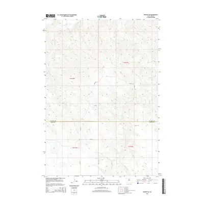
2015 Map of Wendte NE
USGS Topo · Published 2015About this map
Bad River flows across the northern reaches of this landscape, carving through a dissected terrain where the boundary between Stanley Co and Jones Co is defined by legal section lines rather than natural features. The area is characterized by an intricate drainage network including Crow Eagle Cr and War Cr, which feed into the primary river system. This 2015 survey reveals a sparsely populated prairie environment where movement is dictated by a grid of rural routes such as 277th Ave and 224th St. Named landmarks like War Creek Rd and Soldier Rd provide essential orientation in this wide-open South Dakota territory, reflecting a long-standing pattern of ranching and land management within the t3n r29e and t3n r30e townships.
Find a feature on this map
15 named features on this map. Tap any name to fly to it.
Don’t see what you’re looking for? This feature index may not catch every label — zoom into the map to look around manually.
Map Details
Editions of this 2015 Wendte NE Map
This is the sole edition of this map. No revisions or reprints were ever made.
Other maps of this area

1924 · Pierre
USGS Topo · 1:62,500

1937 · Oahe
USGS Topo · 1:62,500

1953 · Teton
USGS Topo · 1:24,000

1953 · Oahe SW
USGS Topo · 1:24,000

1953 · Pierre SW
USGS Topo · 1:24,000

1953 · Wendte
USGS Topo · 1:24,000

1953 · Wendte NE
USGS Topo · 1:24,000

1953 · Pierre 3 NW
USGS Topo · 1:24,000

1954 · Pierre
USGS Topo · 1:250,000

1958 · Pierre
USGS Topo · 1:250,000