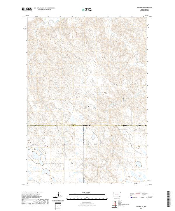
2021 Map of Wendte NE
USGS Topo · Published 2021About this map
Bad River meanders across the northern reaches of this landscape in central South Dakota, defining the drainage patterns for a network of intermittent streams. The terrain is marked by the deep erosional cuts of Crow Eagle Cr and the complex branching of War Cr and the W Br War Cr. This area is characterized by vast open ranges and an enduring rural structure, where the Stanley Co Jones Co boundary bisects the southern half of the sheet. Human presence is sparse, centered around a few arterial routes such as Warcreek Rd and Soldier Rd. A significant point of interest for genealogists and local historians is the Mathews Family Cem, located near the intersection of Army Pl, providing a tangible link to the early families who settled this part of the Dakota plains.
Find a feature on this map
17 named features on this map. Tap any name to fly to it.
Don’t see what you’re looking for? This feature index may not catch every label — zoom into the map to look around manually.
Map Details
Editions of this 2021 Wendte NE Map
This is the sole edition of this map. No revisions or reprints were ever made.
Other maps of this area

1924 · Pierre
USGS Topo · 1:62,500

1937 · Oahe
USGS Topo · 1:62,500

1953 · Teton
USGS Topo · 1:24,000

1953 · Oahe SW
USGS Topo · 1:24,000

1953 · Pierre SW
USGS Topo · 1:24,000

1953 · Wendte
USGS Topo · 1:24,000

1953 · Wendte NE
USGS Topo · 1:24,000

1953 · Pierre 3 NW
USGS Topo · 1:24,000

1954 · Pierre
USGS Topo · 1:250,000

1958 · Pierre
USGS Topo · 1:250,000