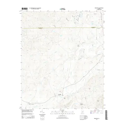
2014 Map of Weogufka
USGS Topo · Published 2014About this map
Weogufka and Unity anchor this landscape along the border of Talladega and Coosa counties. The terrain is defined by the Weogufka Mountains, where the elevation rises toward Baxley Mtn and Terrapin Hill. A dense network of local creeks, including Peckerwood Cr, Monk Cr, and the eponymous Weogufka Cr, carves through the countryside. For genealogists and local historians, several burial sites are documented across the quadrangle, notably Grimes Chapel Cem, Stewarts Cem, New Site Cem, and Unity Cem. The map illustrates a rural area where life is oriented around these small communities and water features like Kauls Lake and Lake Tate, connected by a web of county roads such as CR-56 and CR-41.
Find a feature on this map
63 named features on this map. Tap any name to fly to it.
Don’t see what you’re looking for? This feature index may not catch every label — zoom into the map to look around manually.
Map Details
Editions of this 2014 Weogufka Map
This is the sole edition of this map. No revisions or reprints were ever made.
Other maps of this area

1890 · Talladega
USGS Topo · 1:125,000

1892 · Talladega
USGS Topo · 1:125,000

1901 · Wetumpka
USGS Topo · 1:125,000

1903 · Wetumpka
USGS Topo · 1:125,000

1915 · Gantts Quarry
USGS Topo · 1:48,000

1917 · Gantts Quarry
USGS Topo · 1:62,500

1944 · Goodwater
USGS Topo · 1:62,500

1947 · Goodwater
USGS Topo · 1:62,500

1953 · Montgomery
USGS Topo · 1:250,000

1953 · Birmingham
USGS Topo · 1:250,000