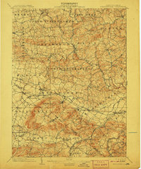
1902 Map of Wernersville
USGS Topo · Published 1907About this map
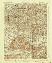
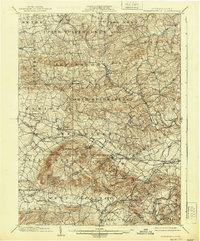
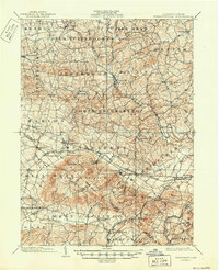
South Mountain dominates the southern landscape of Berks County at the turn of the century, serving as a backdrop for a series of distinct social and medical institutions. The era's approach to care is visible through the prominent grounds of the Orphans Home near Ryeland and the large Insane Asylum complex situated just north of Wernersville. This corridor, shaped by the Philadelphia and Reading R. R., connects bustling early industrial and agricultural centers like Womelsdorf and Robesonia.
Find a feature on this map
84 named features on this map. Tap any name to fly to it.
Don’t see what you’re looking for? This feature index may not catch every label — zoom into the map to look around manually.
Map Details
Editions of this 1902 Wernersville Map
8 editions found
Other maps of this area

1889 · Pottsville
USGS Topo · 1:62,500

1891 · Pottsville
USGS Topo · 1:62,500

1891 · Lebanon
USGS Topo · 1:62,500

1892 · Pine Grove
USGS Topo · 1:62,500

1893 · Lebanon
USGS Topo · 1:62,500

1894 · Reading
USGS Topo · 1:62,500

1899 · Lebanon
USGS Topo · 1:62,500

1902 · Wernersville
USGS Topo · 1:62,500

1902 · Lancaster
USGS Topo · 1:62,500

1904 · Lancaster
USGS Topo · 1:62,500