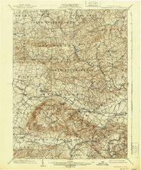
1902 Map of Wernersville
USGS Topo · Published 1939About this map
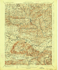
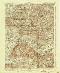
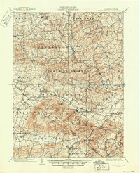
South Mountain dominates the southern landscape of this Berks County region, serving as a natural divider where the Lebanon and Lancaster county lines meet. The industrial and social character of the early twentieth century is visible in the alignment of the Philadelphia and Reading R. R. and its Lebanon Valley Division, which spurred the growth of towns like Robesonia, Womelsdorf, and Wernersville. This corridor was not only a transit artery but also home to significant institutions, including the Ryeland Orphans Home and the Insane Asylum near Cacoosing Creek. To the north, the terrain transitions into a dense network of farming communities and water-powered industry, evidenced by Hicks Mill on Tulpehocken Creek and Hiesters Mill near Lower Heidelberg. The map captures a moment when local life was centered around these rail depots and small crossroads such as Bernville and Stouchsburg.
Find a feature on this map
71 named features on this map. Tap any name to fly to it.
Don’t see what you’re looking for? This feature index may not catch every label — zoom into the map to look around manually.
Map Details
Editions of this 1902 Wernersville Map
8 editions found
Other maps of this area

1889 · Pottsville
USGS Topo · 1:62,500

1891 · Pottsville
USGS Topo · 1:62,500

1891 · Lebanon
USGS Topo · 1:62,500

1892 · Pine Grove
USGS Topo · 1:62,500

1893 · Lebanon
USGS Topo · 1:62,500

1894 · Reading
USGS Topo · 1:62,500

1899 · Lebanon
USGS Topo · 1:62,500

1902 · Wernersville
USGS Topo · 1:62,500

1902 · Lancaster
USGS Topo · 1:62,500

1904 · Lancaster
USGS Topo · 1:62,500