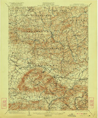
1902 Map of Wernersville
USGS Topo · Published 1922About this map
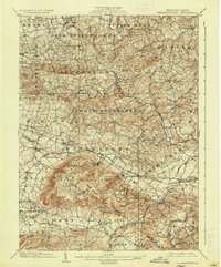
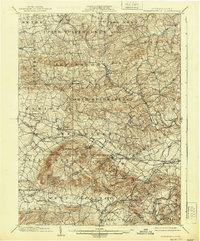
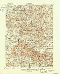
The Philadelphia and Reading R. R. serves as the industrial and social spine of this Berks County landscape at the turn of the century, connecting a string of established settlements including Womelsdorf, Robesonia, and Wernersville. The terrain is dominated by the massive rise of South Mountain in the south-central portion, where the elevation supported several unique late-Victorian landmarks such as Walters Park, Grand View, and the Insane Asylum.
Find a feature on this map
73 named features on this map. Tap any name to fly to it.
Don’t see what you’re looking for? This feature index may not catch every label — zoom into the map to look around manually.
Map Details
Editions of this 1902 Wernersville Map
8 editions found
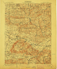
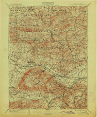
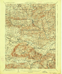
Other maps of this area

1889 · Pottsville
USGS Topo · 1:62,500

1891 · Pottsville
USGS Topo · 1:62,500

1891 · Lebanon
USGS Topo · 1:62,500

1892 · Pine Grove
USGS Topo · 1:62,500

1893 · Lebanon
USGS Topo · 1:62,500

1894 · Reading
USGS Topo · 1:62,500

1899 · Lebanon
USGS Topo · 1:62,500

1902 · Wernersville
USGS Topo · 1:62,500

1902 · Lancaster
USGS Topo · 1:62,500

1904 · Lancaster
USGS Topo · 1:62,500