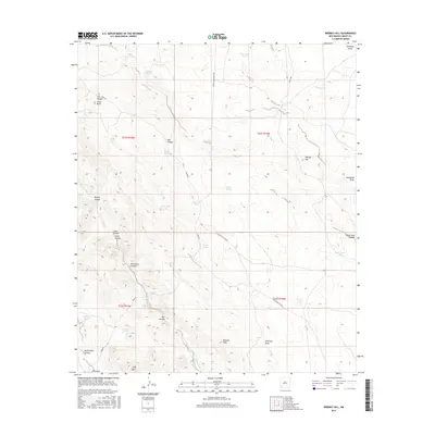
2017 Map of Werney Hill
USGS Topo · Published 2017About this map
Werney Hill and the Malpais Hills define the high ground of this Grant County landscape, where water management is central to the local geography. The map documents an extensive network of cattle or storage tanks, including University Tank, Morrell Tank, and the Arvin Tanks, highlighting the necessity of water infrastructure in this arid environment. These features are often situated near prominent drainage systems like Walnut Cr and the Burro Cienaga.
Find a feature on this map
39 named features on this map. Tap any name to fly to it.
Don’t see what you’re looking for? This feature index may not catch every label — zoom into the map to look around manually.
Map Details
Editions of this 2017 Werney Hill Map
This is the sole edition of this map. No revisions or reprints were ever made.
Other maps of this area

1909 · Silver City
USGS Topo · 1:125,000

1949 · Whitewater
USGS Topo · 1:24,000

1950 · White Signal
USGS Topo · 1:24,000

1950 · Burro Peak
USGS Topo · 1:24,000

1951 · White Signal
USGS Topo · 1:24,000

1951 · Big Burro Mountains
USGS Topo · 1:24,000

1954 · Silver City
USGS Topo · 1:250,000

1958 · Silver City
USGS Topo · 1:250,000

1962 · Silver City
USGS Topo · 1:250,000

1962 · Ninetysix Ranch
USGS Topo · 1:24,000