Loading...
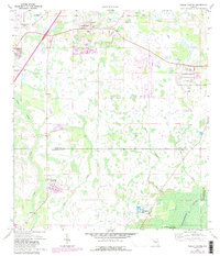
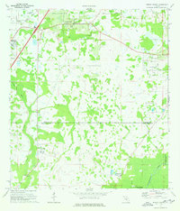
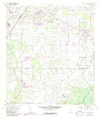
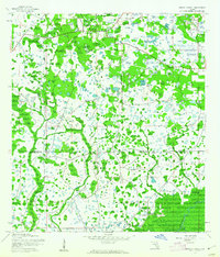
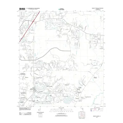
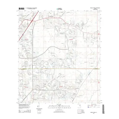
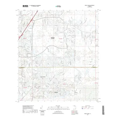
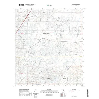
Loading map...1973 Map of Wesley Chapel
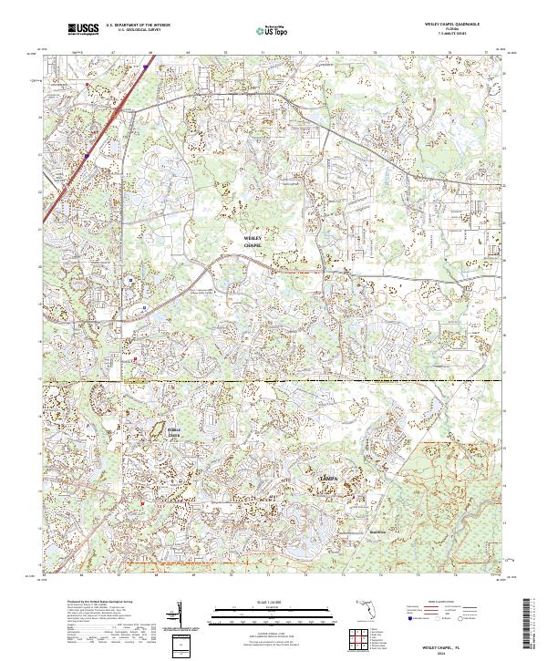
USGS Topo · Published 1987About this map
Wesley Chapel and the surrounding pine lands of northern Florida appear in this era just as suburban development began to reach into the cypress swamps. The landscape is defined by its complex drainage network, where Cabbage Swamp Creek and Trout Creek feed toward the Hillsborough River. Large country clubs like Quail Hollow Country Club and Pebble Creek Country Club mark the shift toward recreational land use in the 1970s and 1980s.
Find a feature on this map
23 named features on this map. Tap any name to fly to it.
Don’t see what you’re looking for? This feature index may not catch every label — zoom into the map to look around manually.
Map Details
Date Portrayed1973
Date Published1987
PublisherU.S. Geological Survey
Map TypeTopographic
Scale1:24,000
Physical Dimensions22.9 x 26.7 inches
Editions of this 1973 Wesley Chapel Map
3 editions found
Historical Maps of Tampa Through Time
7 maps found
Featured Locations
Source Details
SourceU.S. Geological Survey
CopyrightPublic Domain