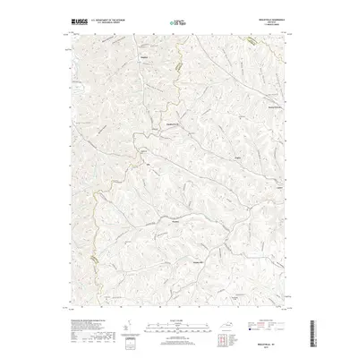
2019 Map of Wesleyville
USGS Topo · Published 2019About this map
Wesleyville and the surrounding hollows of Carter and Lewis Counties are defined by a complex network of ridges and watercourses. Small settlements like Rooney, Eby, and Smiths Creek are tucked into the valleys of McGlone Creek and Grassy Creek, connected by winding roads that often follow the natural contours of the land. The presence of Boone Furnace in the northeastern corner of the map points to the region's industrial past, while numerous family and community cemeteries, such as Sexton Cem and Kiser Cem, provide essential data points for local genealogists. The terrain is marked by distinctive landmarks like Staffords Hill and the Horse Shoe Bend of the Kinniconick Creek, illustrating the high-relief landscape of this part of Kentucky. From the high point of Oakland Ridge down to Womstead Field, the map details a rural landscape where narrow hollows like Negro Hollow and Bruce Hollow have long shaped the pattern of local life and travel.
Find a feature on this map
106 named features on this map. Tap any name to fly to it.
Don’t see what you’re looking for? This feature index may not catch every label — zoom into the map to look around manually.
Map Details
Editions of this 2019 Wesleyville Map
This is the sole edition of this map. No revisions or reprints were ever made.
Other maps of this area

1915 · Garrison
USGS Topo · 1:62,500

1918 · Garrison
USGS Topo · 1:62,500

1919 · Vanceburg
USGS Topo · 1:62,500

1949 · Vanceburg
USGS Topo · 1:62,500

1949 · Garrison
USGS Topo · 1:24,000

1949 · Vanceburg
USGS Topo · 1:24,000

1949 · Brushart
USGS Topo · 1:24,000

1950 · Brushart
USGS Topo · 1:24,000

1950 · Head Of Grassy
USGS Topo · 1:24,000

1950 · Grahn
USGS Topo · 1:24,000