
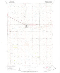
1950 Map of Wessington
USGS Topo · Published 1950About this map
Wessington sits at the intersection of the Chicago and North Western railroad and the border of Hand and Beadle Counties. This 1950 survey, mapped as part of the Missouri River Basin development program, shows a classic prairie settlement pattern defined by isolated schools and grid-based township boundaries. Franklin Sch, Bothwell Sch, and Rogers Sch are positioned at regular intervals across the landscape, serving the surrounding rural sections of Grand, Whiteside, and Hulbert.
Find a feature on this map
17 named features on this map. Tap any name to fly to it.
Don’t see what you’re looking for? This feature index may not catch every label — zoom into the map to look around manually.
Map Details
Editions of this 1950 Wessington Map
3 editions found
Other maps of this area

1899 · Redfield
USGS Topo · 1:125,000

1949 · Vayland SE
USGS Topo · 1:24,000

1950 · Vayland
USGS Topo · 1:24,000

1950 · Wessington NE
USGS Topo · 1:24,000

1951 · Wessington SE
USGS Topo · 1:24,000

1951 · Wessington SW
USGS Topo · 1:24,000

1951 · Vayland SE
USGS Topo · 1:24,000

1953 · Huron
USGS Topo · 1:250,000

1954 · Huron
USGS Topo · 1:250,000

1967 · Tulare SE
USGS Topo · 1:24,000