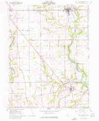
1961 Map of West Alexandria
USGS Topo · Published 1977About this map
Twin Creek and Seven Mile Creek define the drainage patterns of this Preble County landscape, where small agricultural settlements grew alongside early transit routes like Quaker Trace. The map centers on the village of West Alexandria, showing a mid-century town structure complete with an Athletic Field and localized industry near the New York Road. To the south, the village of Gratis sits near a Covered Bridge on Aukerman Creek, illustrating the persistence of older infrastructure in the rural valley. The survey captures a network of small, family-named locales and crossroads such as Sampleville, Wheatville, and Ingomar, many of which were established during the nineteenth-century expansion of southwestern Ohio. Genealogists will find significant value in the numerous burial sites and rural institutions, including Fair View Cemetery, Enterprise Cem, and the Lanier Sch.
Find a feature on this map
74 named features on this map. Tap any name to fly to it.
Don’t see what you’re looking for? This feature index may not catch every label — zoom into the map to look around manually.
Map Details
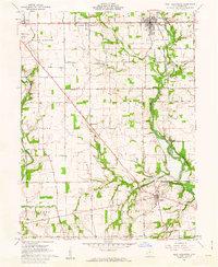
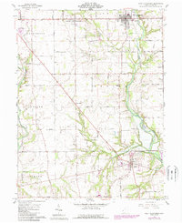
Editions of this 1961 West Alexandria Map
3 editions found
Other maps of this area

1905 · Brookville
USGS Topo · 1:62,500

1908 · Miamisburg
USGS Topo · 1:62,500

1911 · Oxford
USGS Topo · 1:62,500

1953 · Cincinnati
USGS Topo · 1:250,000

1957 · Cincinnati
USGS Topo · 1:250,000
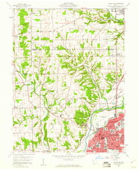
1959 · Middletown
USGS Topo · 1:24,000
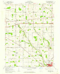
1960 · Eaton North
USGS Topo · 1:24,000

1960 · Farmersville
USGS Topo · 1:24,000
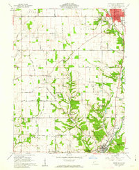
1960 · Eaton South
USGS Topo · 1:24,000
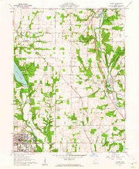
1961 · Oxford
USGS Topo · 1:24,000