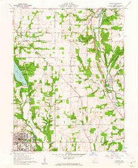
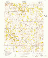
1961 Map of Oxford
USGS Topo · Published 1962About this map
Miami University and Western College anchor the southern landscape of this 1961 survey, situated at the edge of the burgeoning town of Oxford. The map captures the region’s academic and agricultural identity just as outdoor recreation was being formalized, evidenced by the recently established Hueston Woods State Park and Acton Lake. These water features contrast with the deeply incised valleys of Four Mile Creek and Sevenmile Creek, where the Pennsylvania railroad line follows the natural contours of the land through Somerville and Camden.
Find a feature on this map
74 named features on this map. Tap any name to fly to it.
Don’t see what you’re looking for? This feature index may not catch every label — zoom into the map to look around manually.
Map Details
Editions of this 1961 Oxford Map
4 editions found
Other maps of this area

1911 · Oxford
USGS Topo · 1:62,500

1915 · College Corner
USGS Topo · 1:48,000

1915 · Harrison
USGS Topo · 1:48,000

1915 · Hamilton
USGS Topo · 1:62,500

1917 · Hamilton
USGS Topo · 1:62,500

1918 · College Corner
USGS Topo · 1:62,500

1953 · Cincinnati
USGS Topo · 1:250,000

1955 · Hamilton
USGS Topo · 1:24,000

1955 · Reily
USGS Topo · 1:24,000
1955 · Millville
USGS Topo · 1:24,000