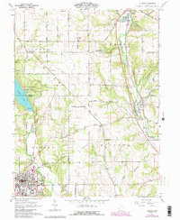
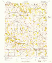
1961 Map of Oxford
USGS Topo · Published 1988About this map
Oxford serves as the academic and cultural anchor of this Butler County landscape, dominated by the campuses of Miami University and Western College. The town’s 1960s footprint is highly detailed, showing the university athletic fields and a local waterworks. Beyond the college town, the terrain transitions into a patchwork of rural townships like Israel and Somers, where older settlements like Morning Sun and Somerville mark the intersections of the regional road network. To the west, the creation of Acton Lake within Hueston Woods State Park provides a sharp contrast to the agricultural valleys of Four Mile Creek. Geologic and industrial features are scattered throughout, including the Devils Backbone ridge and several Gravel Pits along the Penn Central rail line, which follows the winding path of Sevenmile Creek toward the village of Camden.
Find a feature on this map
48 named features on this map. Tap any name to fly to it.
Don’t see what you’re looking for? This feature index may not catch every label — zoom into the map to look around manually.
Map Details
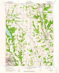
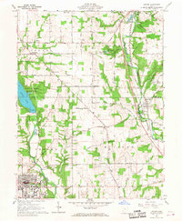
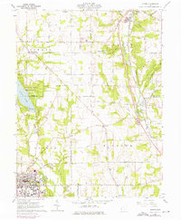
Editions of this 1961 Oxford Map
4 editions found
Other maps of this area

1911 · Oxford
USGS Topo · 1:62,500

1915 · College Corner
USGS Topo · 1:48,000

1915 · Harrison
USGS Topo · 1:48,000

1915 · Hamilton
USGS Topo · 1:62,500

1917 · Hamilton
USGS Topo · 1:62,500

1918 · College Corner
USGS Topo · 1:62,500

1953 · Cincinnati
USGS Topo · 1:250,000

1955 · Hamilton
USGS Topo · 1:24,000

1955 · Reily
USGS Topo · 1:24,000
1955 · Millville
USGS Topo · 1:24,000