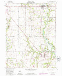
1961 Map of West Alexandria
USGS Topo · Published 1988About this map
West Alexandria serves as a primary hub for this portion of Preble County, showing the intersection of local industry and rural life. The landscape is defined by the drainage basins of Twin Creek and Seven Mile Creek, which carve through the townships of Lanier, Washington, and Gratis. Small crossroads and hamlets like Wheatville, Sampleville, and Enterprise are scattered throughout, often centered around family-named landmarks or agricultural infrastructure.
Find a feature on this map
54 named features on this map. Tap any name to fly to it.
Don’t see what you’re looking for? This feature index may not catch every label — zoom into the map to look around manually.
Map Details
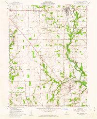
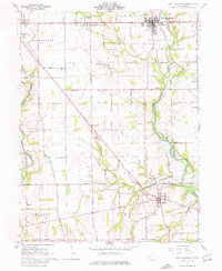
Editions of this 1961 West Alexandria Map
3 editions found
Other maps of this area

1905 · Brookville
USGS Topo · 1:62,500

1908 · Miamisburg
USGS Topo · 1:62,500

1911 · Oxford
USGS Topo · 1:62,500

1953 · Cincinnati
USGS Topo · 1:250,000

1957 · Cincinnati
USGS Topo · 1:250,000
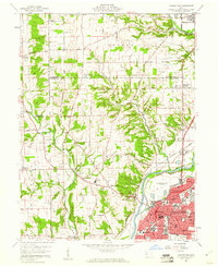
1959 · Middletown
USGS Topo · 1:24,000
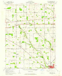
1960 · Eaton North
USGS Topo · 1:24,000

1960 · Farmersville
USGS Topo · 1:24,000
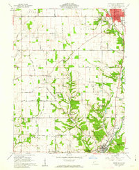
1960 · Eaton South
USGS Topo · 1:24,000
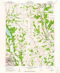
1961 · Oxford
USGS Topo · 1:24,000