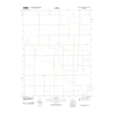
2010 Map of West Bethany Church
USGS Topo · Published 2010About this map
Harrison Flats dominates the northeastern corner of this western Kansas landscape, where the High Plains topography is defined by the ephemeral drainages of Ladder Creek and its tributary, South Ladder Creek. This 2010 USGS survey documents the rural character of Greeley County, structured by a rigid section-line road grid including Thirteen Mile Rd and various county routes. The drainage patterns of Chalk Creek carve through the northern territory, illustrating the hydrological network that has shaped land use and ranching boundaries in this part of Tribune Township. While the map is devoid of large towns, the scattered small structures and stock ponds along the creek beds highlight the localized development necessary for modern agricultural operations in an arid environment.
Find a feature on this map
22 named features on this map. Tap any name to fly to it.
Don’t see what you’re looking for? This feature index may not catch every label — zoom into the map to look around manually.
Map Details
Editions of this 2010 West Bethany Church Map
This is the sole edition of this map. No revisions or reprints were ever made.
Other maps of this area

1955 · Scott City
USGS Topo · 1:250,000

1958 · Scott City
USGS Topo · 1:250,000

1959 · Wallace
USGS Topo · 1:62,500

1968 · Russell Springs 3 SW
USGS Topo · 1:24,000

1968 · Russell Springs 3 NW
USGS Topo · 1:24,000

1968 · Sharon Springs 4 NW
USGS Topo · 1:24,000

1968 · Sharon Springs 4 NE
USGS Topo · 1:24,000

1969 · Russell Springs 2 SW
USGS Topo · 1:24,000

1970 · Sharon Springs 4 SE
USGS Topo · 1:24,000

1970 · Sharon Springs 4 SW
USGS Topo · 1:24,000